

English
Hiking in Azerbaijan
Azerbaijan holds the eastern end of the Greater Caucasus: eight summits above 4,000 m, shepherd plateaus at 2,300 m that have been walked for a thousand years, and — five hours south — a relict subtropical rainforest that survived the ice ages. Almost all of it is within a day’s drive of Baku, and almost none of it is waymarked. This guide covers where to walk, when, what it costs, and what you need to arrange before you go.
- Best season
- Sept – early Oct
- Highest peak
- Bazarduzu, 4,466 m
- Day hike from Baku
- 40–70 AZN
- Waymarked trails
- Rare — bring GPX
Where to hike in Azerbaijan
Eight regions carry essentially all of the country’s hiking. They divide cleanly by season: the alpine north is a summer destination, the forested south and the semi-desert around Baku are best in the shoulder months and winter.
Shahdag & Laza (Qusar)
The alpine heart of the Greater Caucasus and the single most photographed hiking area in the country. Laza sits at about 1,350 m in a bowl of waterfalls, with the Shahdag massif (4,243 m) and the Suvar plateau above it. Snow blocks the high passes until late June and returns in October.
- Laza waterfalls loop — 5–7 km, 2–3 hours, the easiest way to see the valley
- Laza → Suvar plateau — 12 km, 900 m of ascent, long day hike with panoramic ridge views
- Laza → Khinalig traverse — 2 days over the Salavat-adjacent passes, tent or homestay
Khinalig, Griz & Qalaykhudat (Guba)
Khinalig is one of the highest continuously inhabited villages in the Caucasus and part of a UNESCO World Heritage listing for its transhumance route, the Köç Yolu. The plateau walks here are gentle in gradient but high in altitude, and the villages of Griz, Jek and Qalaykhudat nearby are far quieter than Khinalig itself.
- Khinalig → Ateshgah eternal flame — 8 km round trip, mostly flat plateau
- Griz → Qalaykhudat canyon rim — 10 km, dramatic gorge edge, very little shade
- Köç Yolu shepherd route sections — multi-day, best walked with a local guide
Bazarduzu & the high peaks
Bazarduzu (4,466 m) is Azerbaijan’s highest summit, on the border ridge with Russia. It is a two- to three-day expedition with a high camp, not a day hike, and the approach crosses a controlled border zone. Shahdag, Tufandag and Heydar Aliyev Peak are the other common objectives.
- Bazarduzu via Shahnabad valley — 2–3 days, high camp near 3,000 m, permit required
- Shahdag summit (4,243 m) — 2 days, glacier-free but exposed and long
- Tufandag (4,191 m) — 2 days from the Qusar side
Ilisu & Qakh
Forested southern slopes of the Greater Caucasus with a much longer season than the alpine north — you can hike here in April and again in November. Waterfalls, beech forest and the Sumugqala tower make it the best choice for a first hike in Azerbaijan or for a hike with children.
- Ilisu → Ram-Ram waterfall — 6 km round trip, shaded riverbed walk
- Ilisu → Sumugqala tower and canyon — 9 km, moderate ascent
- Qakh → Qum village hills — half day, open ridges and old churches
Lahij, Sulut & Ismayilli
The Girdimanchay gorge and the coppersmith village of Lahij sit at a comfortable 1,200 m, close enough to Baku for a genuine day trip. The surrounding hills hold the Sulut and Qaranohur lakes and a dense network of village-to-village paths.
- Lahij → Niyaldag ridge — 12 km, 700 m ascent, views over the whole gorge
- Sulut waterfall — 5 km, easy, popular in spring when the flow is strong
- Qaranohur lake circuit — 8 km, gentle, best in May and October
Goygol National Park
Goygol, Maralgol and Zaligol are landslide-dammed lakes ringed by pine forest below Kapaz mountain (3,066 m). The park charges a small entry fee and keeps marked trails, which makes it one of the few places in Azerbaijan where you can navigate without a guide.
- Goygol lakeshore path — 6 km, flat, family friendly
- Goygol → Maralgol — 9 km, moderate forest climb
- Kapaz viewpoint approach — full day, steep, no water on route
Hirkan National Park & Talysh (Lankaran)
Relict Hyrcanian forest — a UNESCO World Heritage site — covering the Talysh mountains in the humid subtropical south. This is the winter and shoulder-season answer: green and walkable when the Caucasus is under snow, but hot and very humid in midsummer.
- Khanbulan lake and forest paths — 7 km, easy, dense canopy
- Hirkan ironwood forest trails — half day, waymarked from the park gate
- Yardimli / Nisegala fortress hills — full day, open ridgelines
Gobustan, Shamakhi & the Baku day-trip belt
Semi-desert, mud volcanoes and petroglyph fields within two hours of the capital. The season is inverted here: summer is punishingly hot and shadeless, while November to March is mild and pleasant, which makes this belt the reliable winter option.
- Gobustan petroglyph reserve and mud volcano fields — 4–6 km, flat
- Shabran / Ambil hills — half day, rolling grassland
- Khizi red-and-white candy-cane mountains — 5 km, best in late afternoon light
The best time to hike in Azerbaijan
September and the first half of October are the best hiking weeks of the year: stable high pressure, clear air after the summer haze, and cool walking temperatures. The high peaks, though, are only open from July to September.
| Period | High Caucasus | Lowlands & south | Notes |
|---|---|---|---|
| March – April | Snowbound above 2,000 m | Ideal: Hirkan, Gobustan, Ilisu, Lahij | Waterfalls at peak flow, muddy forest tracks. |
| May – June | Opening; passes may still hold snow | Excellent everywhere | Greenest month, wildflowers, occasional heavy rain. |
| July – August | Full alpine season — the only window for 4,000 m peaks | Too hot below 500 m | Afternoon thunderstorms are common in the high Caucasus. |
| September – October | Best conditions of the year: stable, clear, cool | Very good | The single best time to hike in Azerbaijan. First snow can arrive in October. |
| November – February | Closed; avalanche and cold risk | Gobustan, Talysh, Absheron | Winter hiking is realistic only in the south and the lowlands. |
Difficulty grades
Azerbaijani operators grade routes roughly as follows. Ascent matters more than distance here — the paths go straight up the fall line far more often than they switchback.
- Easy
- Up to 8 km, under 300 m of ascent, marked or obvious paths. No experience needed.
- Moderate
- 8–15 km, 300–800 m of ascent, 5–7 hours. Regular walking fitness required.
- Hard
- 15–25 km or 800–1,500 m of ascent, long days, sections without a path.
- Expedition
- Multi-day, high camps above 3,000 m, snow travel. Guide and permit required.
Permits, border zones and safety
Border zones and permits
The ridge above Laza, Khinalig and Bazarduzu runs along the Russian border and parts of it are a controlled zone. Foreign visitors generally need a permit arranged in advance through a licensed operator, and border guards do check documents. Never attempt these routes independently without confirming the current rules — they change, and the penalty for getting it wrong is being turned back at best.
Shepherd dogs
Kangal-type guard dogs work the summer pastures from June to September and will approach a hiker who walks near a flock. Give the herd a wide berth, do not run, and let the shepherd call them off. This is the most common unpleasant incident on Azerbaijani trails.
Weather and navigation
Afternoon storms build fast on the high plateaus and fog can close in within minutes on ground that has no marked path. Most Azerbaijani trails are unwaymarked — a GPX track and a phone with offline maps are not optional above the treeline.
Rescue and connectivity
Mobile coverage disappears in the deep valleys. Emergency services are 112. There is no organised volunteer mountain-rescue network on the scale you may be used to in the Alps, which is the practical argument for hiking with a local guide on anything harder than a marked park trail.
Getting to the trailheads from Baku
Nearly every guided hike is a Baku round trip: the bus leaves the city between 06:00 and 07:00 and is back the same evening. Driving times from Baku are roughly 3 hours to Ismayilli and Lahij, 3.5 hours to Guba and Qusar for Khinalig and Laza, 4.5 hours to Ganja for Goygol, 5 hours to Qakh and Ilisu, and 3.5 hours to Lankaran for the Hyrcanian forest. Independently, take an intercity bus to the district centre and hire a local car for the final mountain road — those last 20–30 km are usually unpaved and need a high-clearance vehicle.
What it costs
- Guided day hike from Baku, transport included
- 40–70 AZN (~€22–38) per person
- Two-day trek with overnight in a village house
- 90–160 AZN (~€49–87) per person
- Bazarduzu or Shahdag summit expedition
- 250–450 AZN (~€135–245) per person
- National park entry (Goygol, Hirkan)
- 2–5 AZN
- Village homestay with dinner and breakfast
- 30–50 AZN per night
What to pack
- Boots with ankle support — Caucasus paths are loose scree and wet grass, not groomed trail
- 2–3 litres of water per person; springs exist but are not reliable in late summer
- A warm layer and a windproof shell even in July — it can be 5 °C at 3,000 m at dawn
- Sun protection: the high plateaus have no shade at all
- Offline maps (the Gotabiat tour pages publish GPX tracks you can download)
- Cash in manat — there are no card terminals in mountain villages
- Your passport, always, if you are hiking anywhere near the Russian or Georgian border
Guided hikes and treks leaving Baku
These are live departures from Azerbaijani operators on Gotabiat — day hikes, weekend treks and summit expeditions, with transport from Baku included. Booking pages are in English and most publish the GPX track for the route.
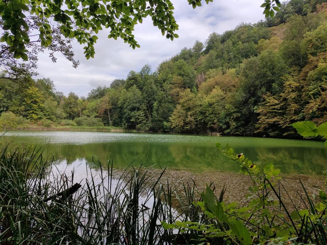 ŞabranƏmbil gölü yürüşü 🍁Day trip · from 45 AZN
 ŞabranLake Ambil HikeDay trip · from 45 AZN
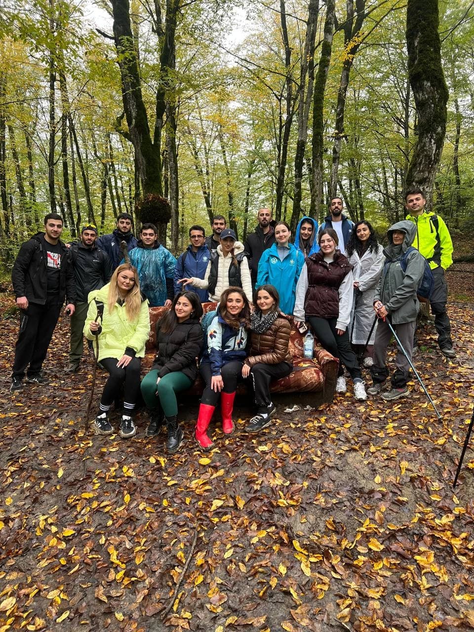
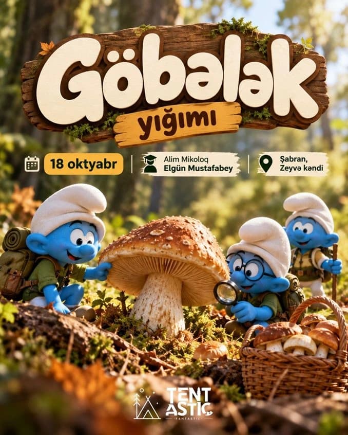 ŞabranMushroom Foraging TrainingDay trip · from 60 AZN
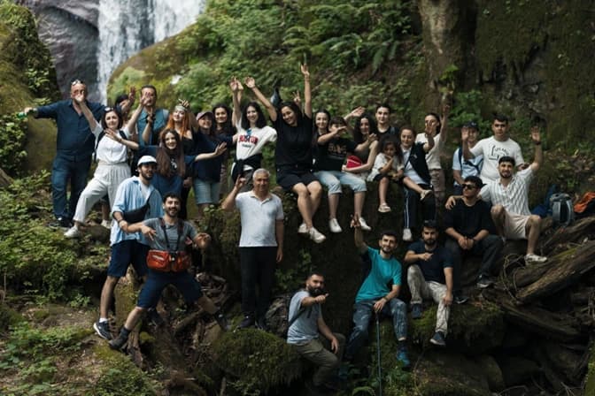 AstaraAstara, Sim - Dostaqkhana WaterfallDay trip · from 60 AZN
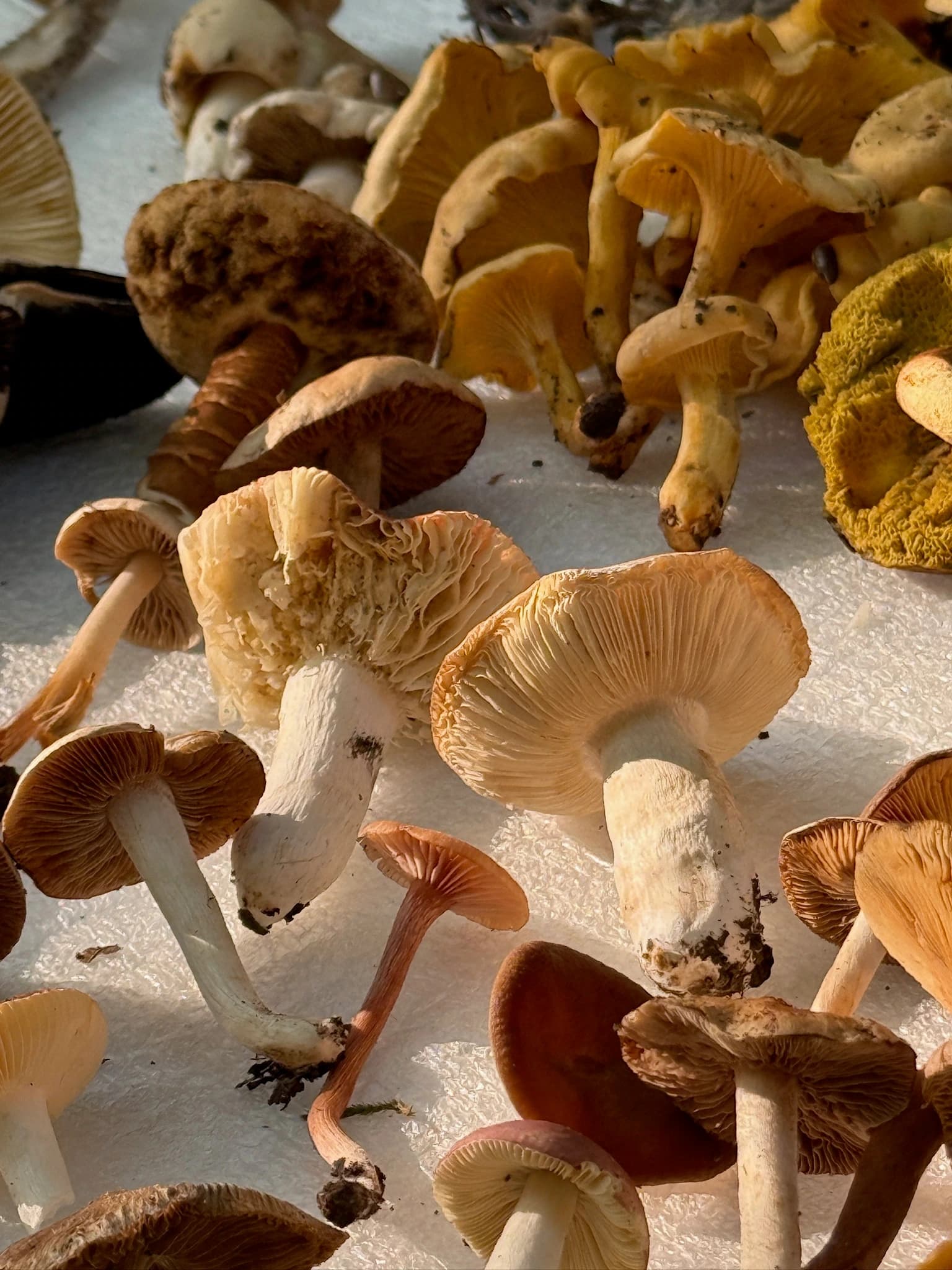 ŞabranMushroom Foraging Tour at Lake AmbilDay trip · from 60 AZN
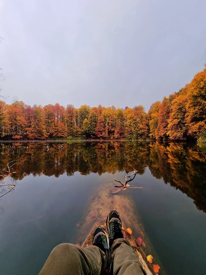 İsmayıllıLake GaranohurDay trip · from 50 AZN
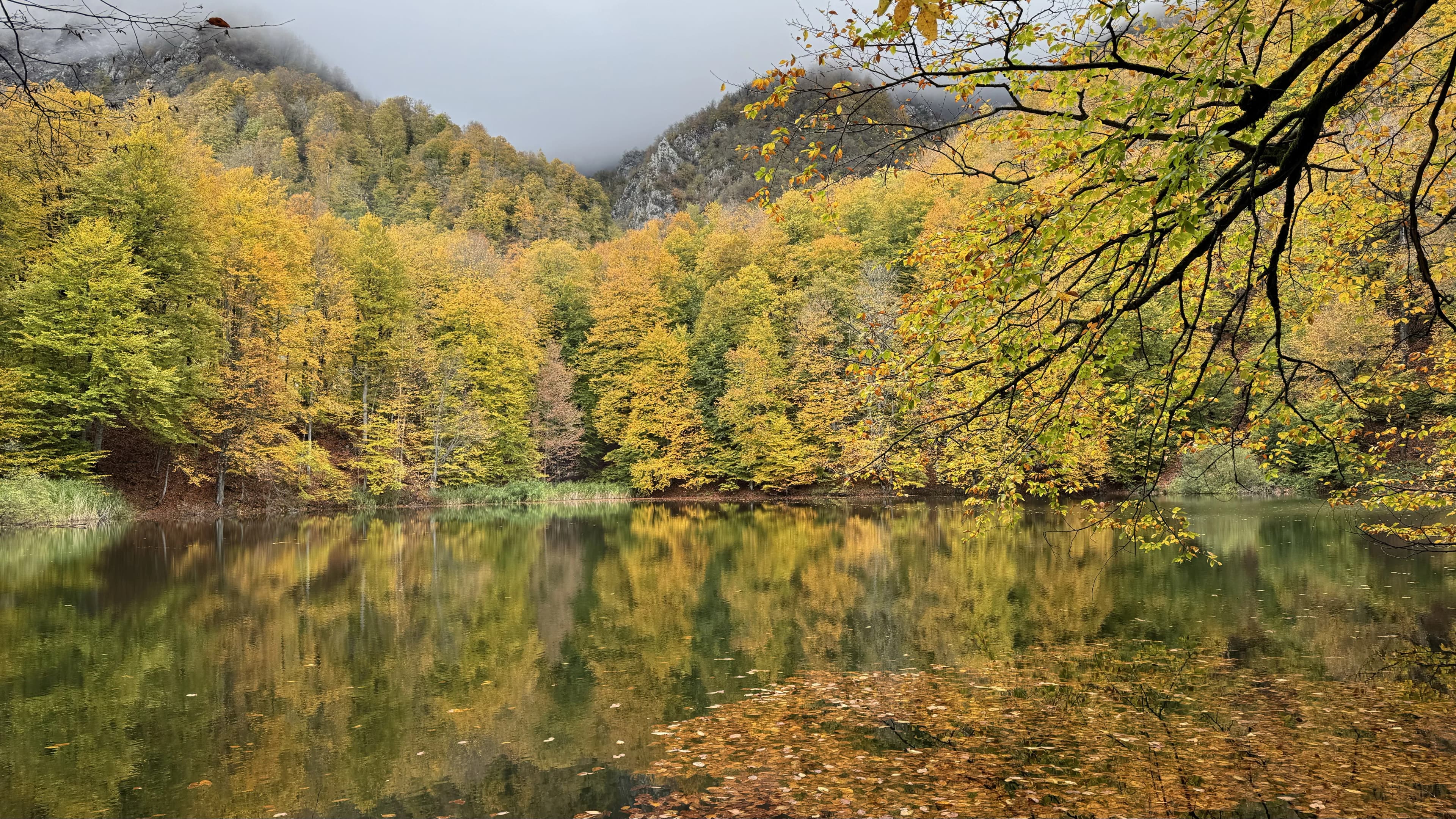 İsmayıllıMagnificent Golden Garanohur Lake Hike 🍁🍂Day trip · from 45 AZN
 LənkəranMushroom TourDay trip · from 65 AZN
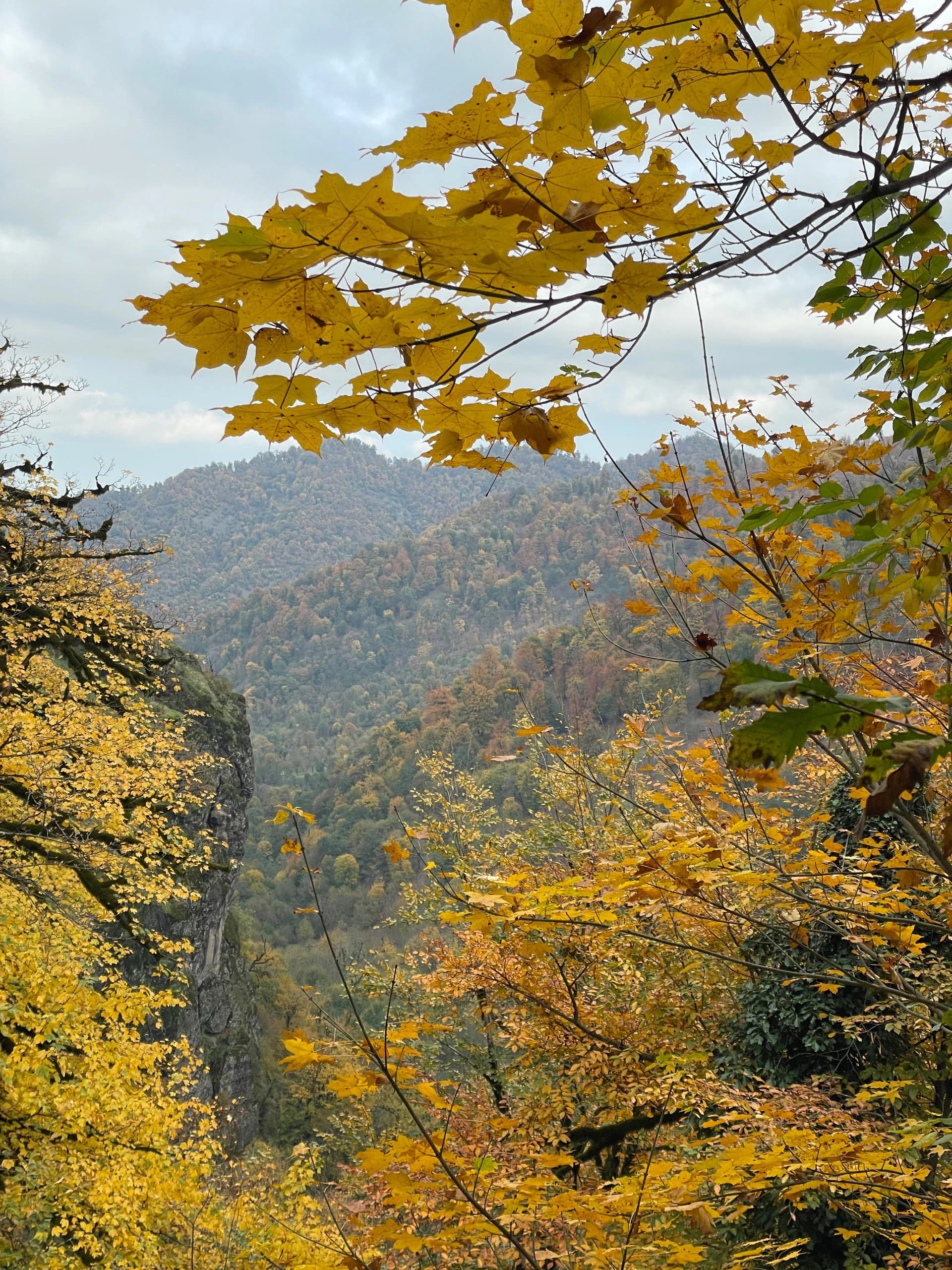 AstaraSim, Dustagkhana and BalligayaDay trip · from 55 AZN
 QubaMartyrs' Height (Kharybulbul Height)Day trip · from 55 AZN
 QubaHike to Kharybulbul Peak (2783 meters)Day trip · from 60 AZN
 İsmayıllıIsmayilli, Mucu-Lahij HikeDay trip · from 65 AZN
Frequently asked questions
Is Azerbaijan good for hiking?
Yes. The Greater Caucasus gives Azerbaijan eight peaks above 4,000 m, alpine plateaus above 2,000 m, and relict Hyrcanian rainforest in the south — all within a five-hour drive of Baku. What it lacks is infrastructure: trails are mostly unmarked, there are no mountain huts, and rescue coverage is thin. That combination makes it outstanding for hikers who want empty mountains, and difficult for anyone expecting a waymarked network.
When is the best time to hike in Azerbaijan?
September and early October are the best weeks of the year: stable weather, clear air, and no summer haze. July and August are the only window for the high peaks above 3,500 m. April, May and November are excellent in the lower forested regions — Ilisu, Lahij, Goygol and the Talysh mountains — while the high passes are still under snow.
Do I need a guide to hike in Azerbaijan?
For marked park trails at Goygol or Hirkan, no. For anything in the high Caucasus, in practice yes: the routes are unmarked, the border zone near Laza, Khinalig and Bazarduzu requires a permit that only a licensed operator can arrange, and there is no organised mountain-rescue service to fall back on.
Do I need a permit to hike near the Russian border?
The high ridges above Qusar and Guba — including the approaches to Bazarduzu and parts of the Laza–Khinalig traverse — fall inside a controlled border zone. Foreign visitors normally need a permit arranged in advance through a licensed tour operator, and border guards check documents on the ground. Confirm the current requirement with your operator before you travel; carry your passport on every hike in these districts.
How do I get from Baku to the trailheads?
Most guided hikes leave Baku by bus between 06:00 and 07:00 and return the same evening — Qusar and Guba are about 3.5 hours away, Ismayilli and Lahij about 3, Qakh and Ilisu about 5, and Ganja for Goygol about 4.5. Independently you can take an intercity bus to the district centre and hire a local car for the last stretch to the village, which is usually an unpaved mountain road.
How much does a hiking tour in Azerbaijan cost?
A guided day hike from Baku with transport included typically runs 40–70 AZN per person. A two-day trek with a village homestay is 90–160 AZN, and a summit expedition to Bazarduzu or Shahdag is 250–450 AZN.
Is it safe to hike in Azerbaijan?
The country is safe and the mountain villages are notably hospitable. The real hazards are environmental rather than criminal: fast-building afternoon storms on the plateaus, unmarked terrain, livestock guard dogs on the summer pastures between June and September, and long distances from medical help. Emergency number is 112.
Can you hike Khinalig and Laza in the same trip?
Yes — they are the two ends of the same massif and a two-day traverse between them is one of the classic routes in the country. It crosses high passes that are only open from late June to early October, and it runs through the border zone, so it needs a permit and a guide.