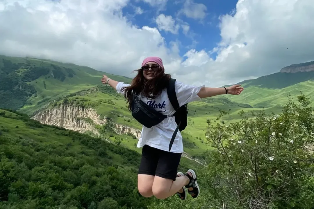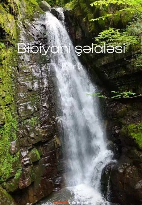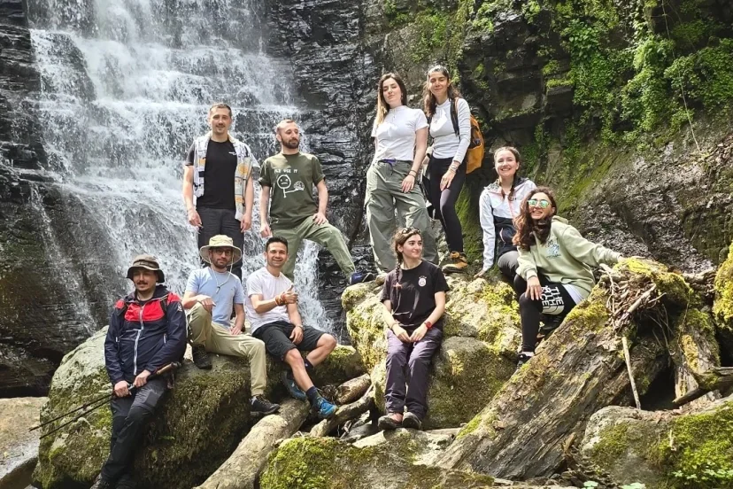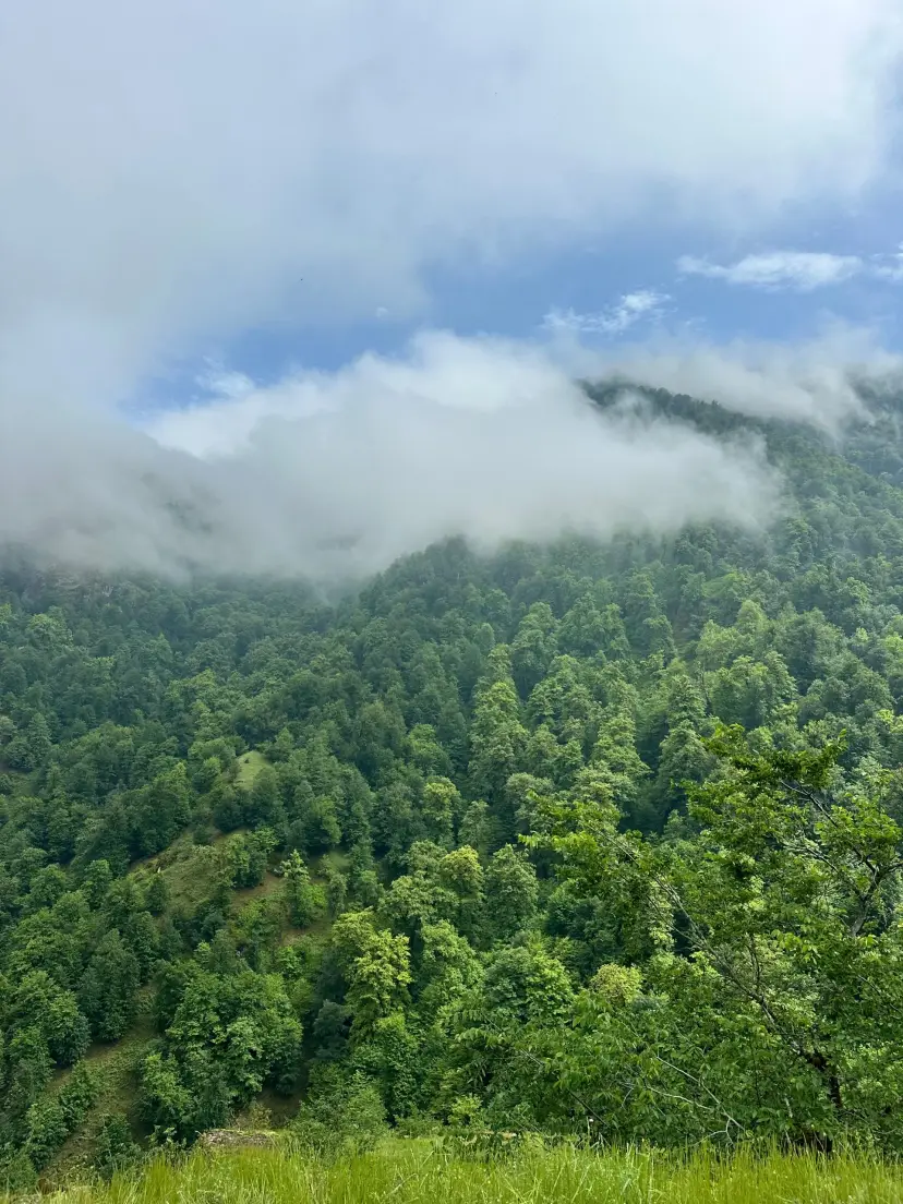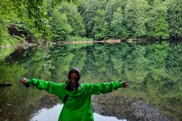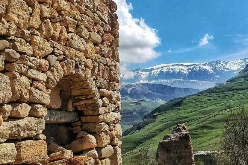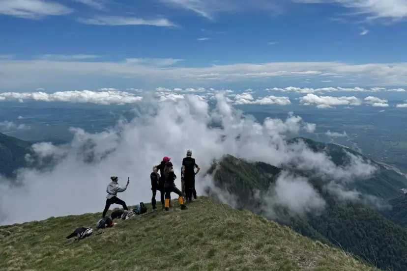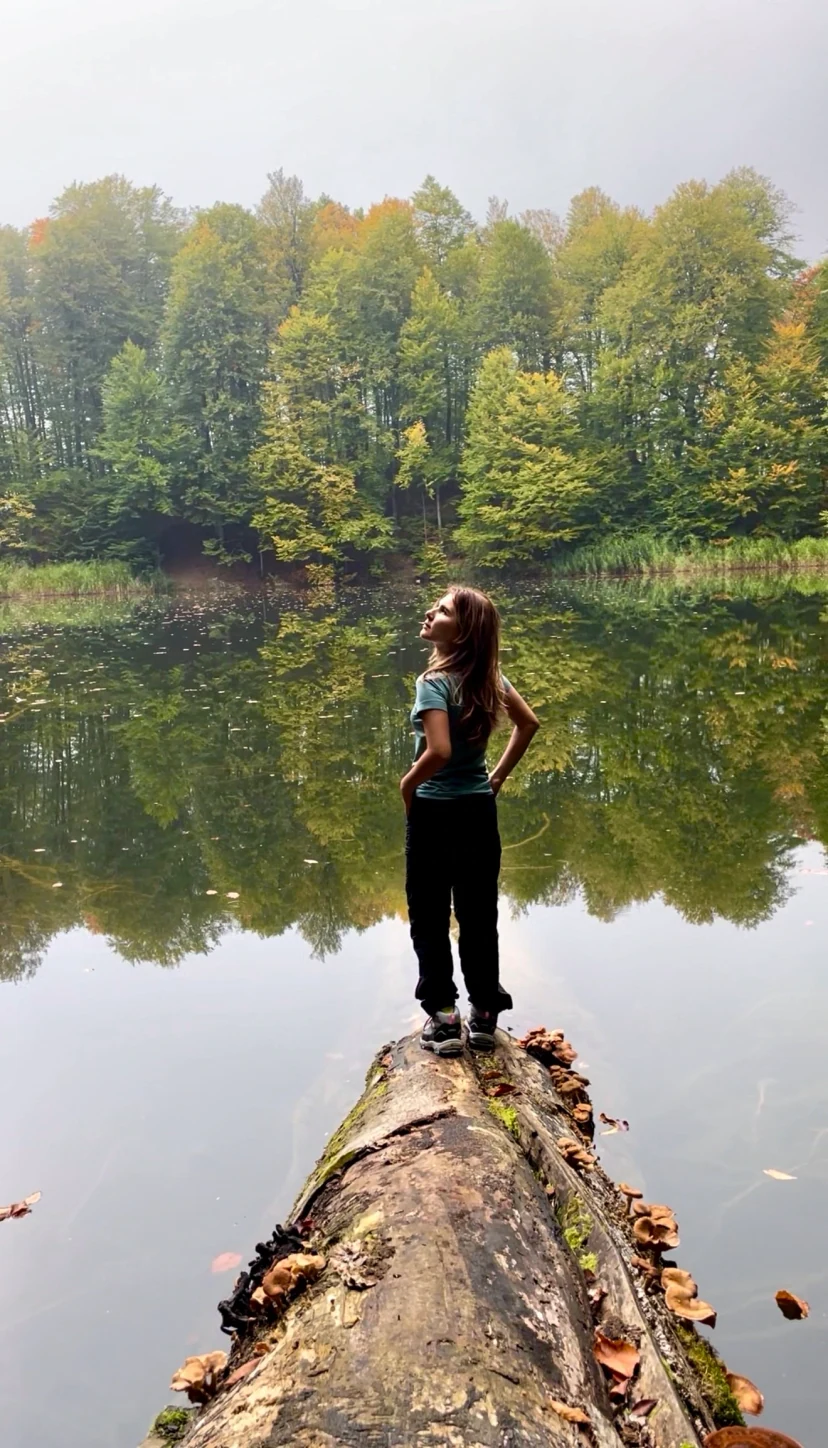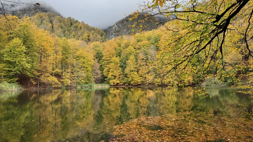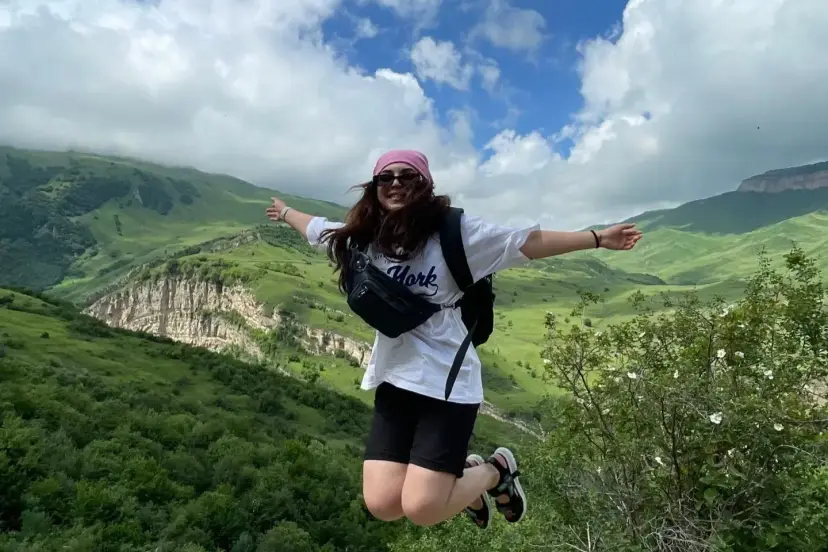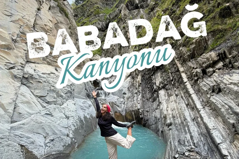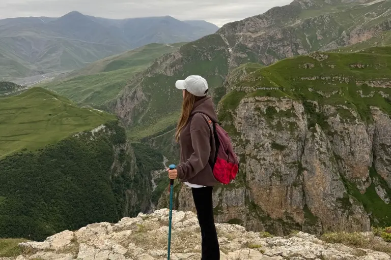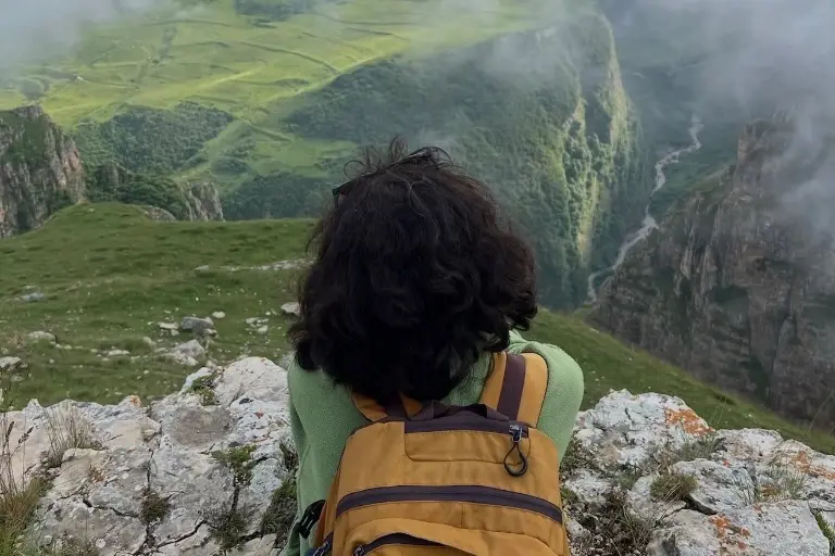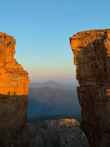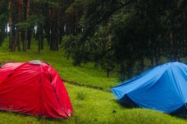

Leave Baku in the morning, back by evening: waterfalls, forests and pasture trails.
For you


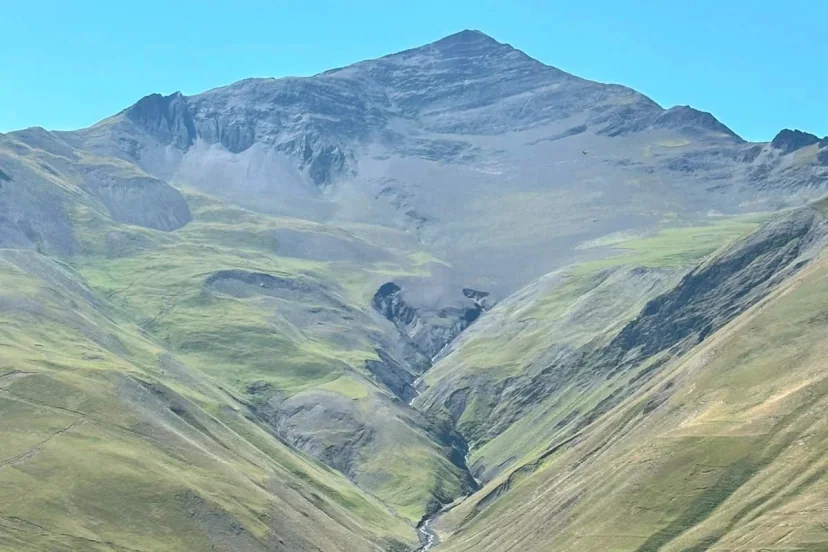
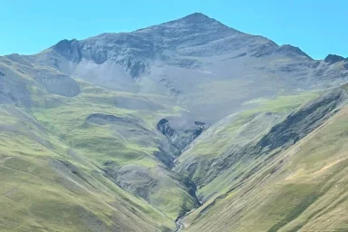
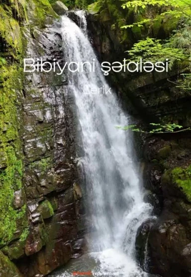
Hiking is the most common format in Azerbaijan: the bus leaves Baku between 06:00 and 07:00, the route runs 8–16 km, and the group is back in the city the same evening. The most popular directions are Ismayilli (Lahij, Muju, Galajig waterfall), Guba–Qusar (Khinalig, Griz, Laza), Qakh–Ilisu, Goygol and the southern forests around Lerik and Astara.
Most trails are unwaymarked, which makes a guide who knows the route a safety matter rather than a luxury. Every departure below belongs to a local operator; distance, total ascent, difficulty and the next date are on the card.
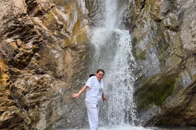
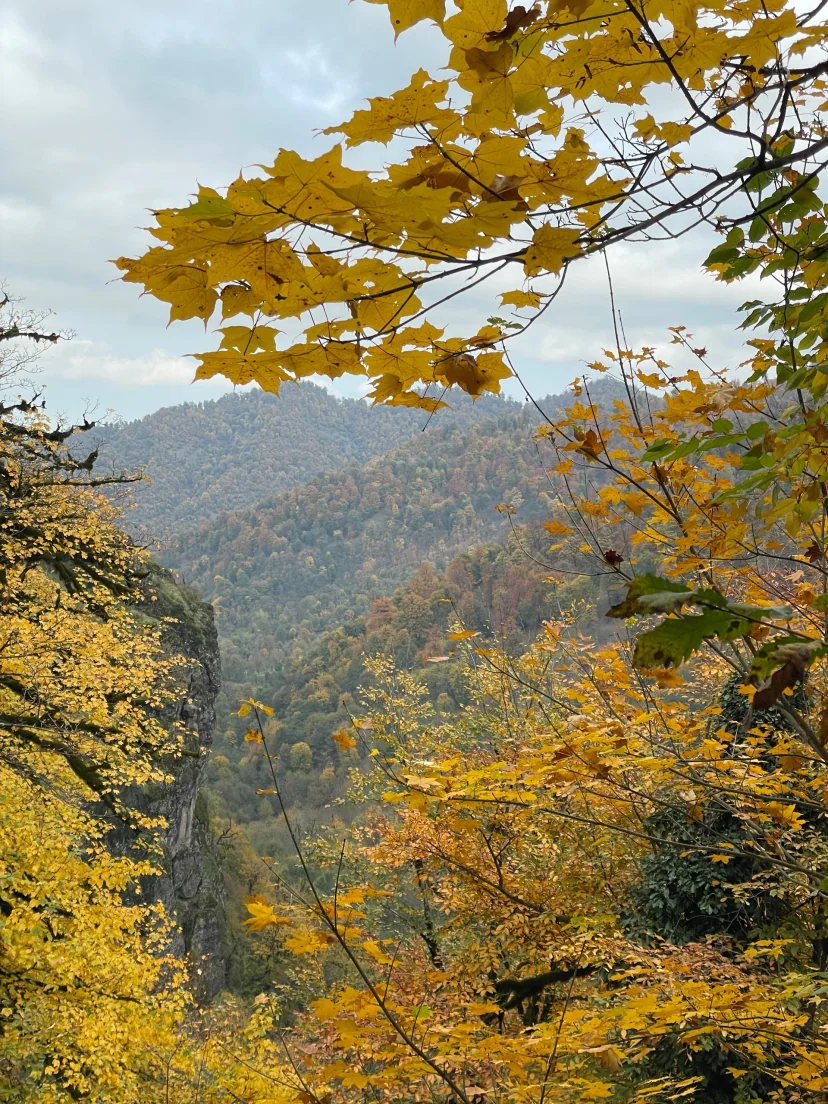
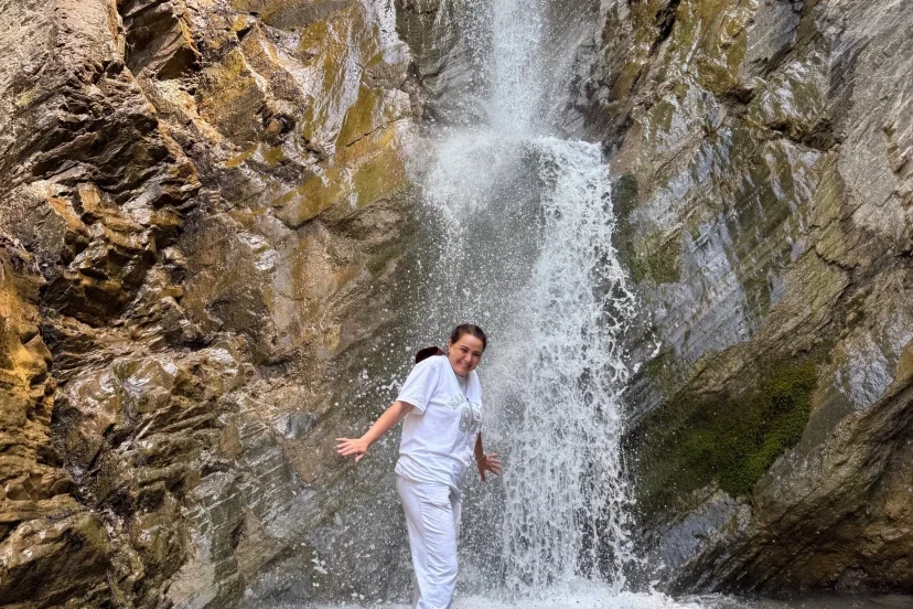
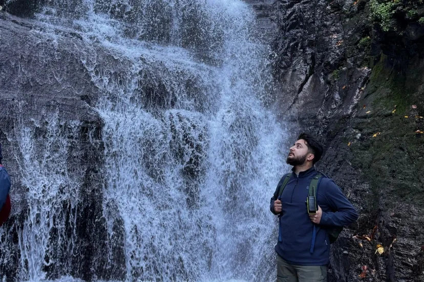
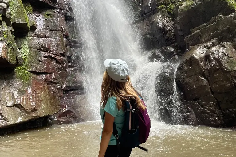
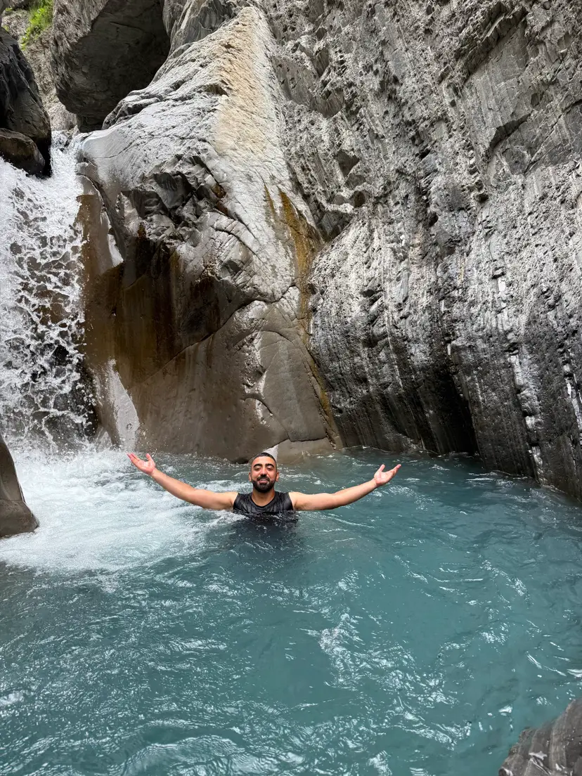
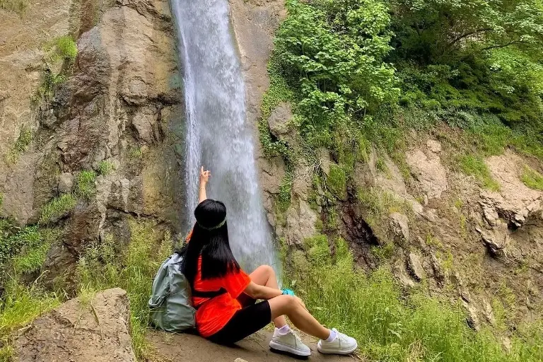
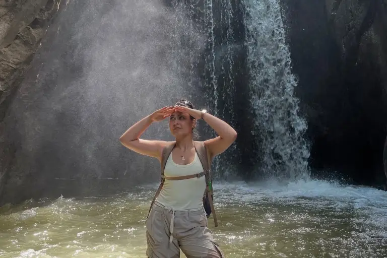
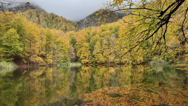
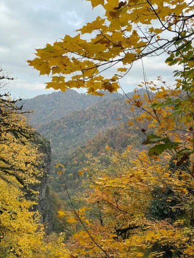
Waterfall routes are at their strongest in spring: Galajig, Gochyatag, Gur-Gur. In summer the forest trails (Ilisu, Hyrcanian, Goygol) stay cool. In autumn Khinalig and Griz are the most chosen direction, for the colour.
Easy — up to 8 km and 400 m of ascent. Moderate — 10–14 km, 600–900 m. Hard — over 15 km or more than 1,000 m of ascent. The figures on the card come from the route’s real GPS track.
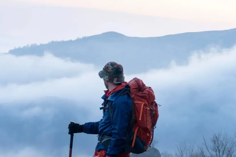
Walking shoes with a proper sole, layers for the season, a rain shell and at least 1.5 litres of water. Mountain weather changes faster than the forecast; even in summer keep a light jacket in the pack.
Start with an easy-graded route of 8–10 km and up to 500 m of ascent. Check the distance and ascent on the card; you can put questions to the operator through the enquiry form.
Usually transport, the guide and entry fees. Food and equipment vary by tour; every tour page has an "included / not included" section.
On easy routes it is often possible. Each tour states its own age limit, and the operator notes whether a child discount applies.
No. You can hold a place at no cost; payment happens on the day or in the way the operator specifies.
Route notes and preparation advice from our guides.