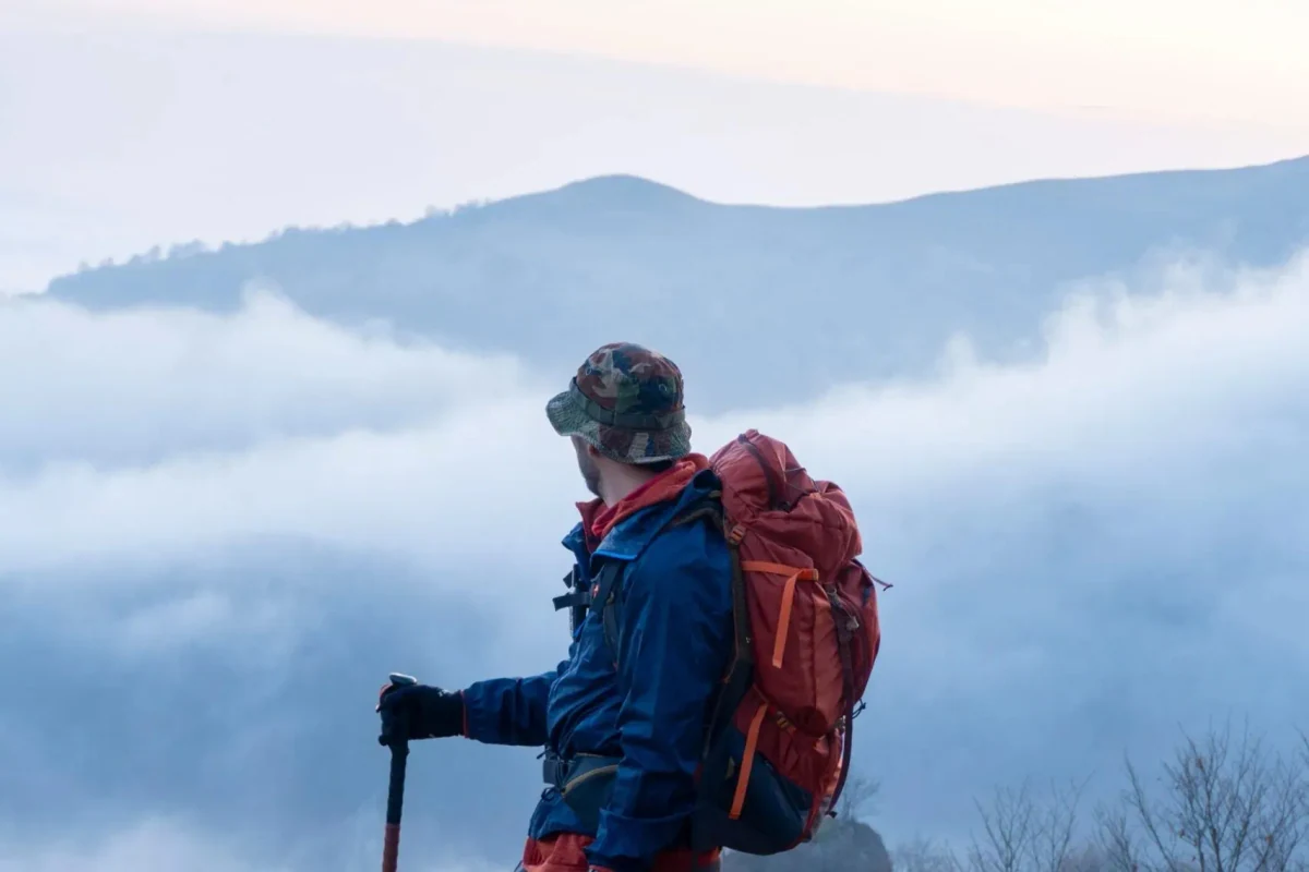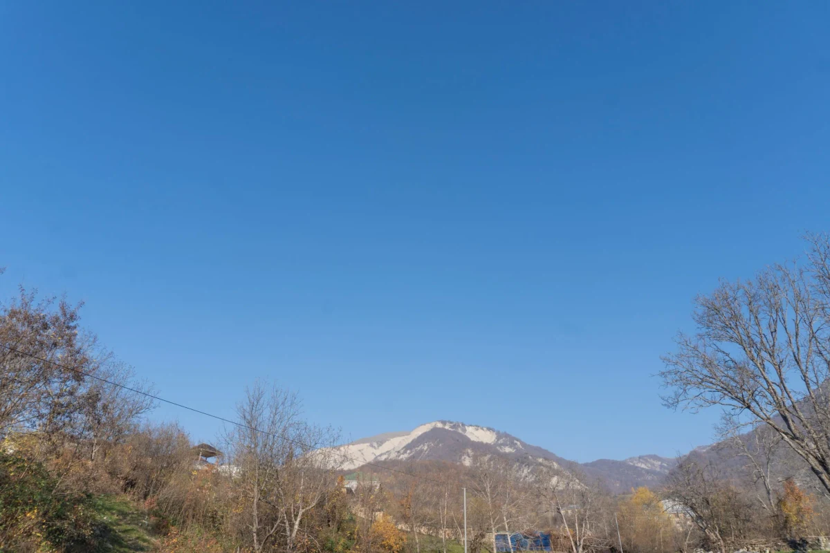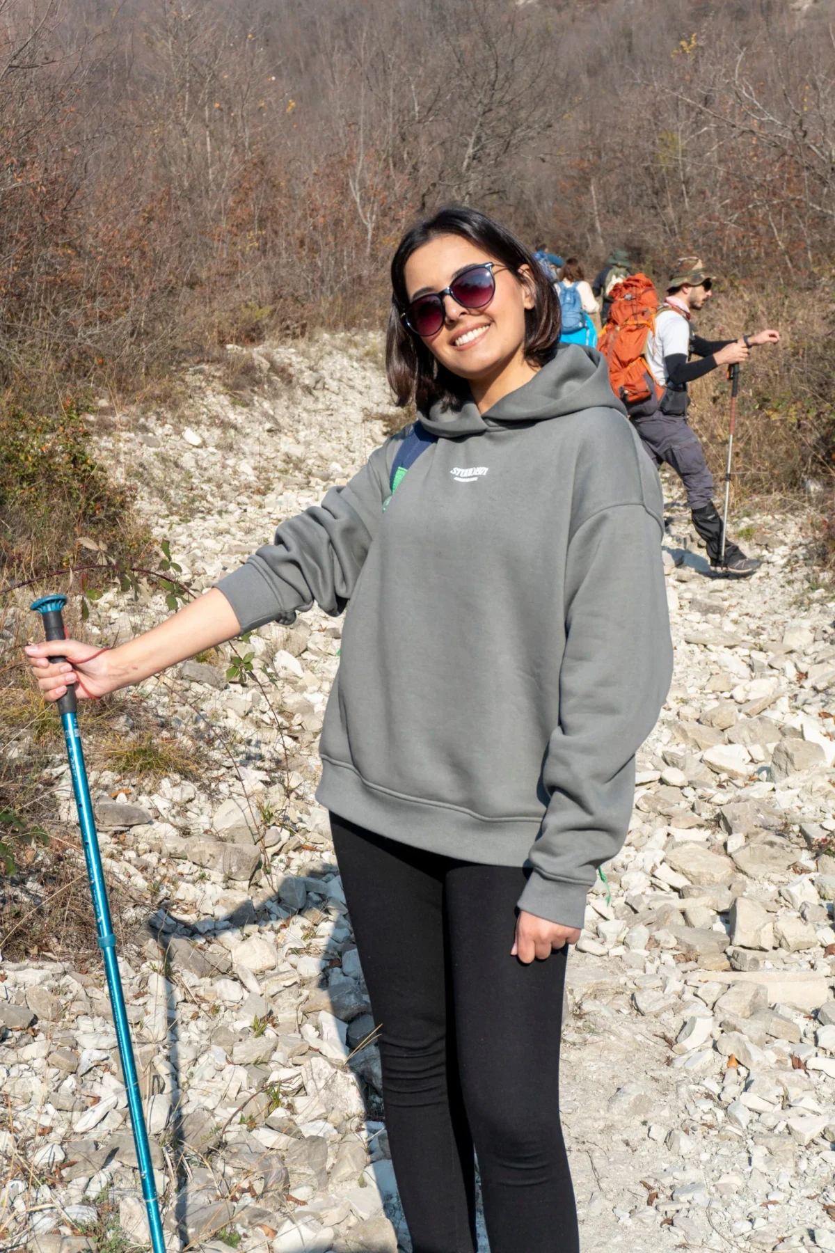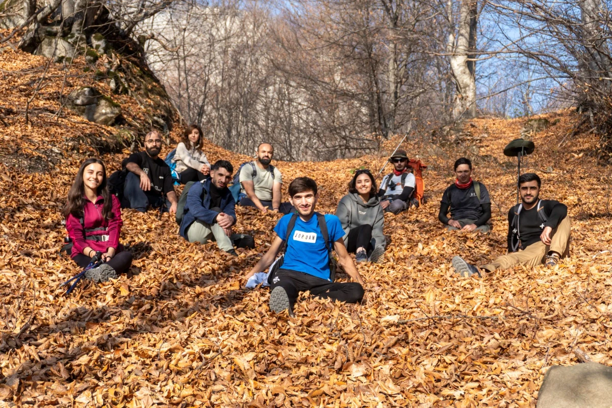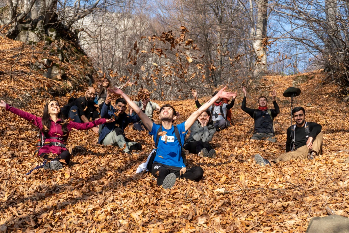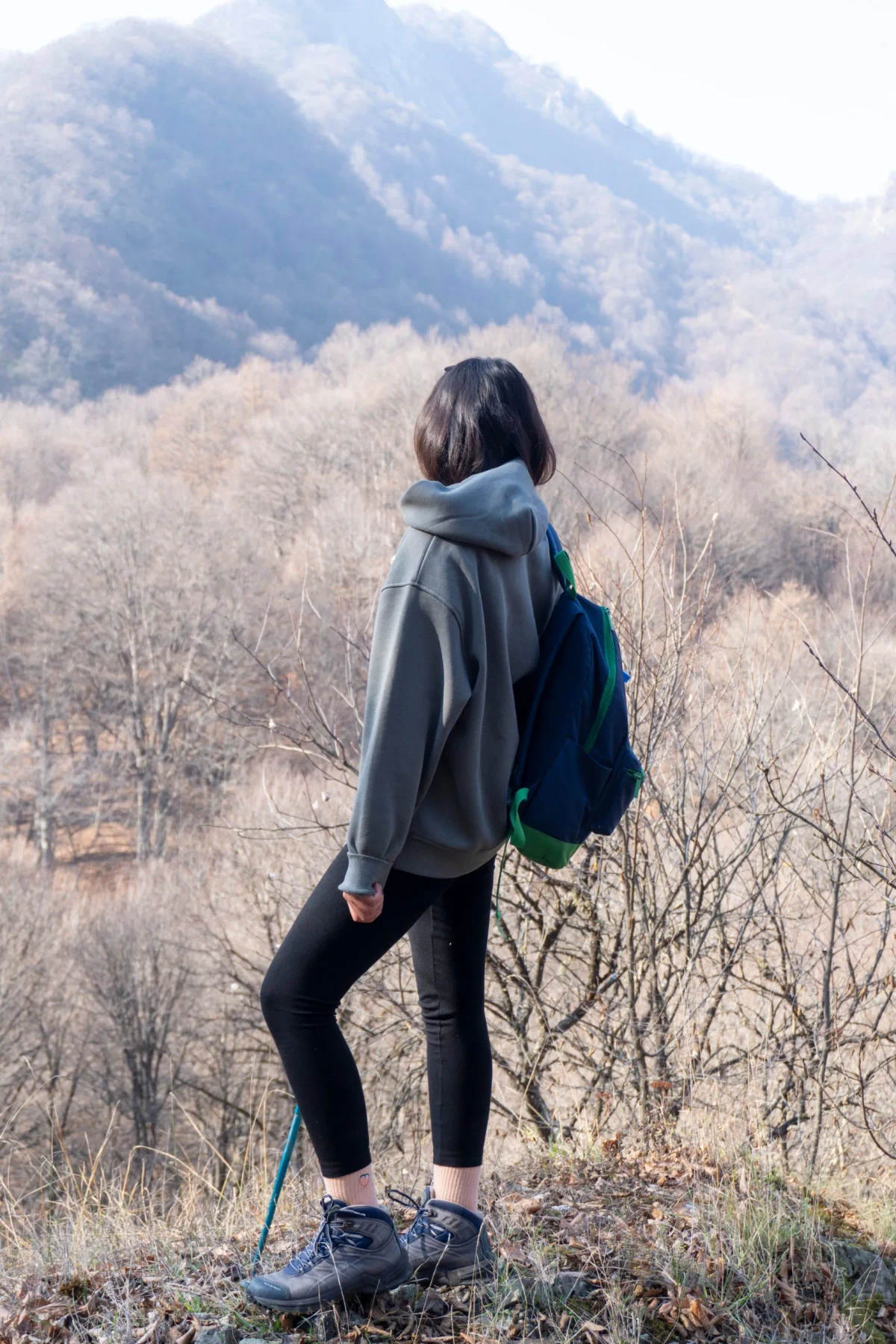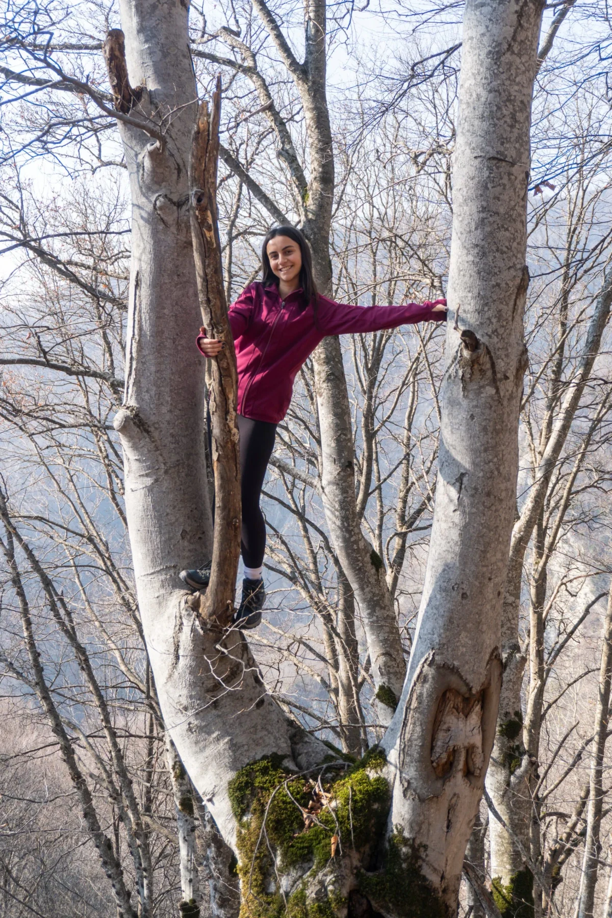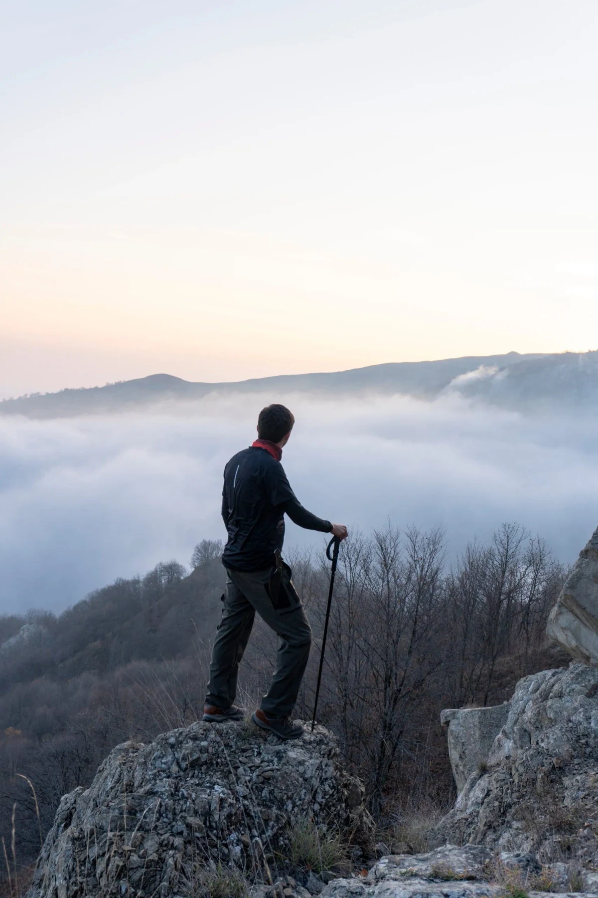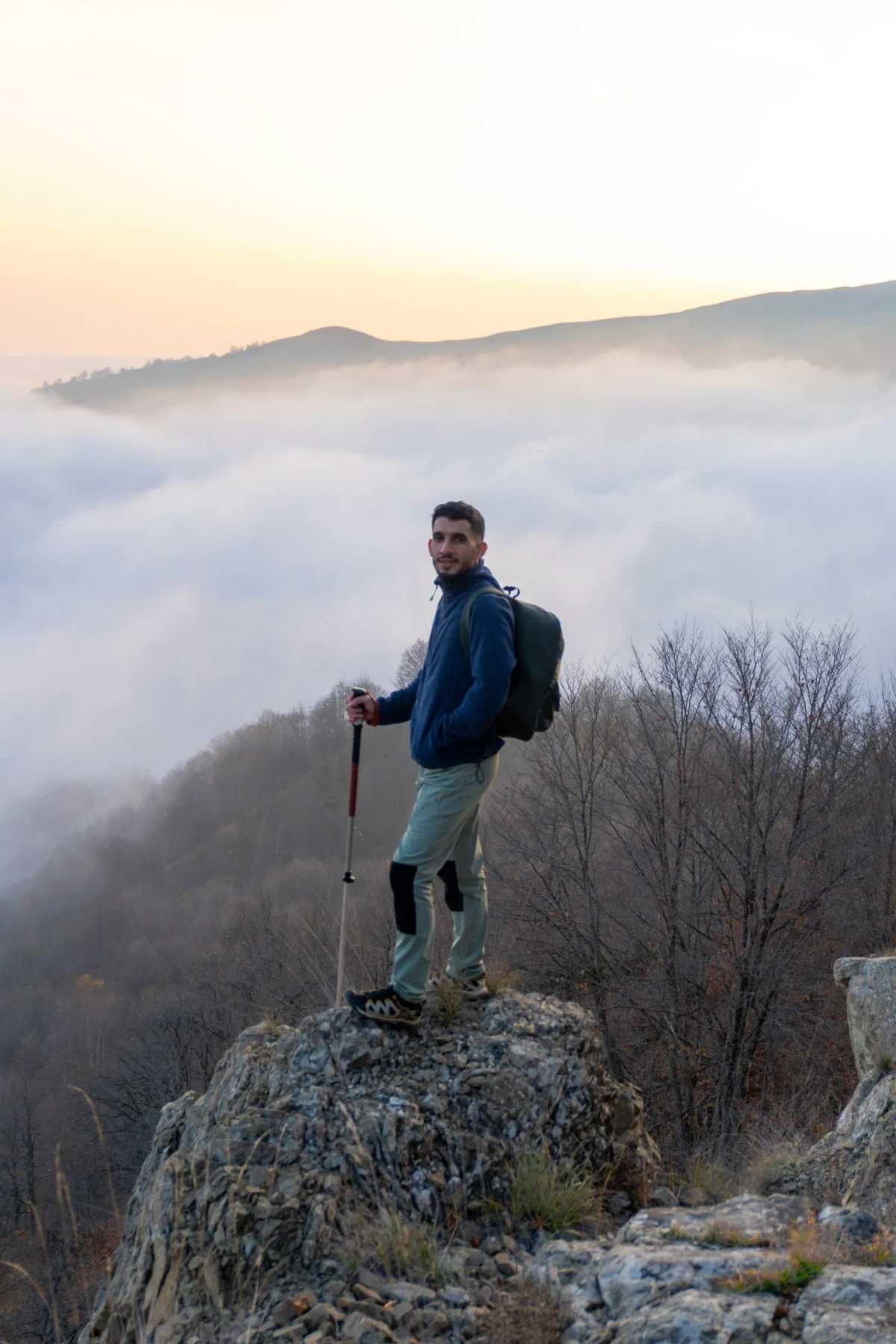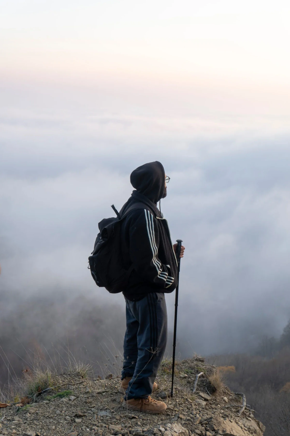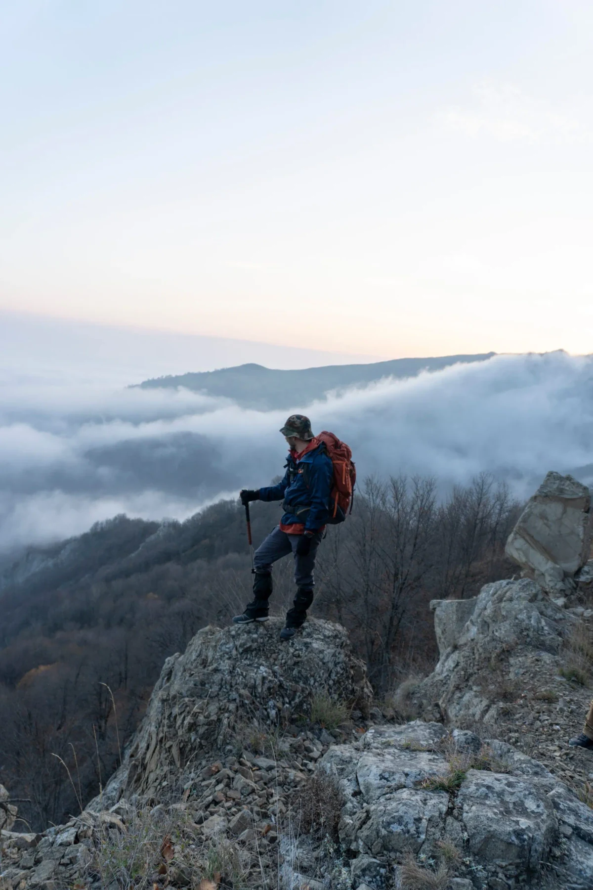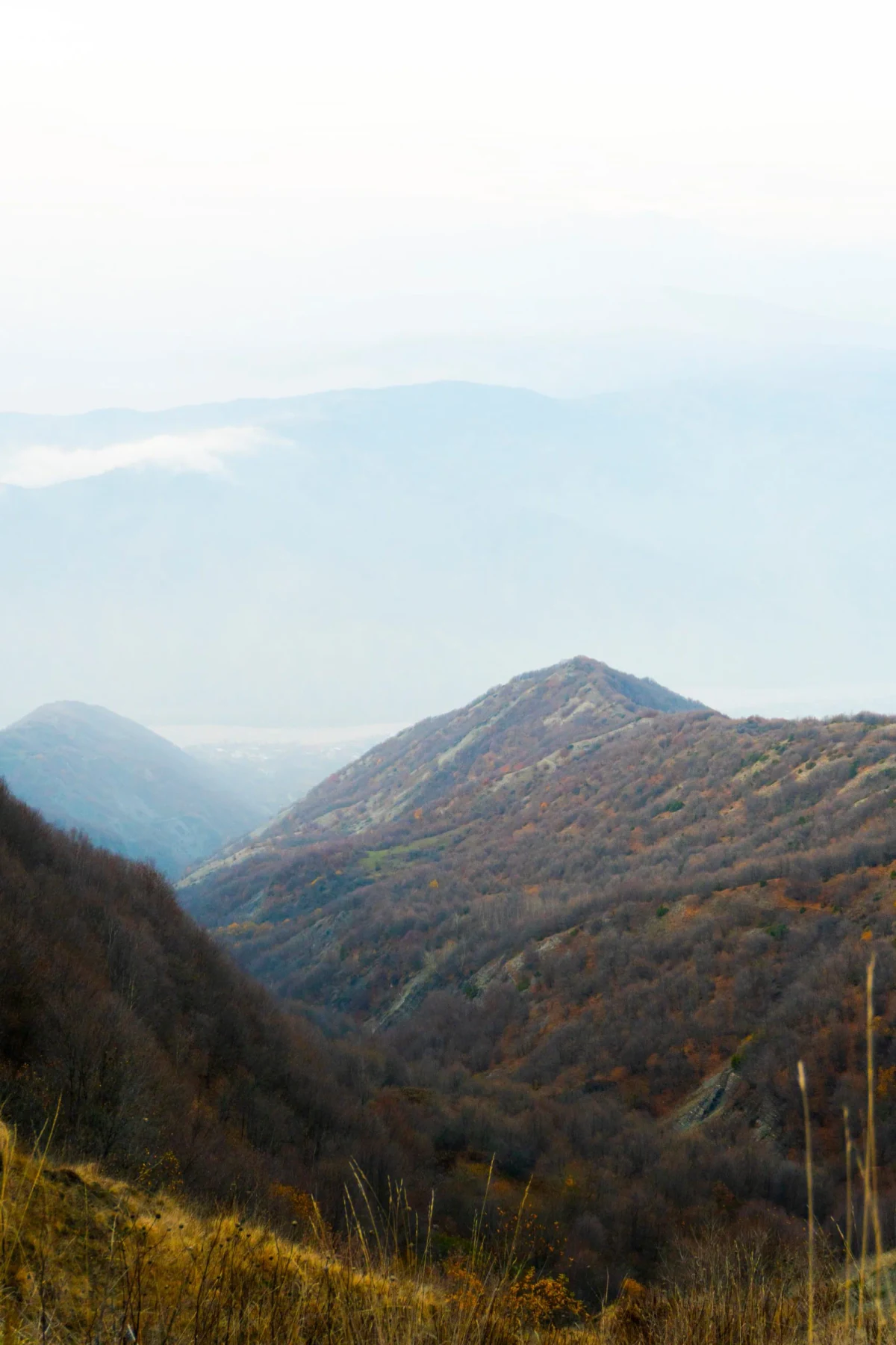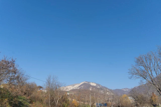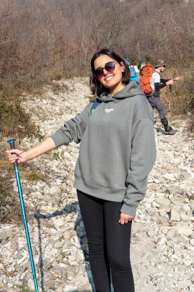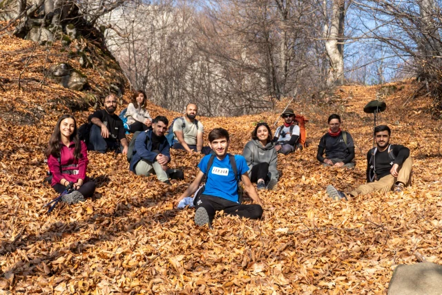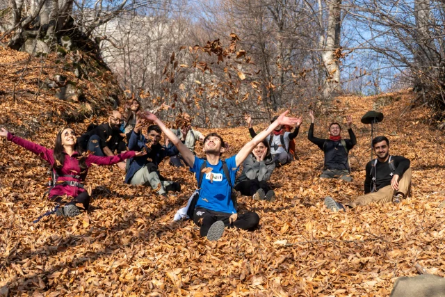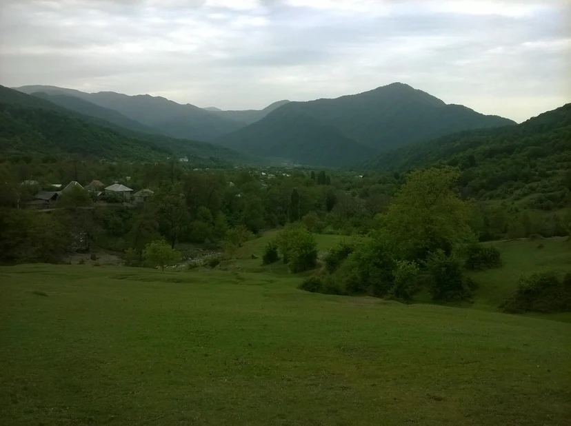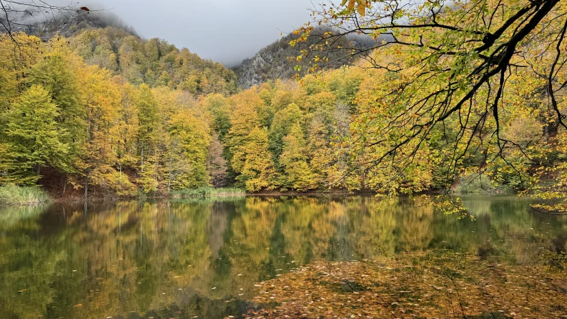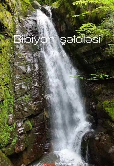

This time, starting from the ancient village of Mucu (1140 m), we head to Lahij (1220 m) passing through the heart of the mountains! On the way, the landscapes of Mount Babadag, Mount Niyaldag, and Mount Fit will fascinate you 😍 ⬆️ Elevation gain: 1030 m ⬇️ Elevation loss: 700 m ⚡ Difficulty: Moderate to hard The route passes through the protected forests of Shahdag National Park, mountain rivers, and plateau trails up to 2000 m altitude. From here, you can enjoy panoramic views of Lahij and surrounding villages, as well as Babadag peak (3629 m).
Ganjlik metro station (in front of the Full Secondary School-Lyceum Complex No. 200)
Shows only the on-foot section — transport segments are not included.
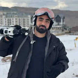
Ruslan MəmmədovGuide5.0(8 ratings)Although Ruslan Mammadov works in IT Business Analytics by profession, his mountain experience and passion connect him to guiding. He has been traversing mountains and hiking trails for more than 5 years. He also maintains an active lifestyle, including running and serving as a Formula 1 Marshal. Trained in first aid. Speaks English.
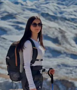
Rəna CəlilovaAlpinist, Guide5.0(3 ratings)Although Rena Jalilova is one of our youngest guides, she is quite experienced in mountaineering and alpinism. Exploring mountains and forests with her father since childhood, Rena took up alpinism seriously around the age of 17-18 and has climbed many high peaks, including Mount Bazarduzu. For over 2 years, she has been professionally engaged in rock climbing and sport climbing. She also serves as a certified referee for the Azerbaijan Mountaineering Federation at championships and competitions. Her proficiency in English and Chinese gives her an edge when working with international travelers.Packing and hiking recommendations tailored to your experience level
How many hikes have you been on before?
Cancel up to 2 days in advance for a full refund
Keep your travel plans flexible — reserve your spot and pay nothing today.
Our detailed posts on the route, the season and how to prepare
Forest trails, an alpine meadow and a view of Babadag. Niyaldag is one of Ismayilli's most complete routes for anyone who wants a summit in a single day.

Galajig, Garanohur, Sulut, Niyaldag, Muju–Lahij, and Babadag Canyon. The region with the highest density of hiking trails in Azerbaijan.
Şamaxı, İsmayıllı, Qəbələ, Göygöl and Tovuz — the vineyard zones sit on the same roads as the hiking routes. How to add them to a trip.


Mücü–Lahıc marşrutu İsmayıllı rayonunda Mücü kəndindən başlayıb tarixi Lahıc kəndinə çatan yürüşdür. Bu marşrut təbiəti və mədəniyyəti birləşdirir: meşəli yamaclar, dağ mənzərələri və sonda Azərbaycanın ən məşhur sənətkarlıq kəndi.
Bu turun marşrutu: 11.2 km marşrut, +1087 m yüksəliş, ən hündür nöqtə 1997 m.
Mücü – Lahıc marşrutu: ətraflı məlumat və bütün turlarTarixi, mövsüm, hazırlıq, hava və təşkilatçıların müqayisəsi.