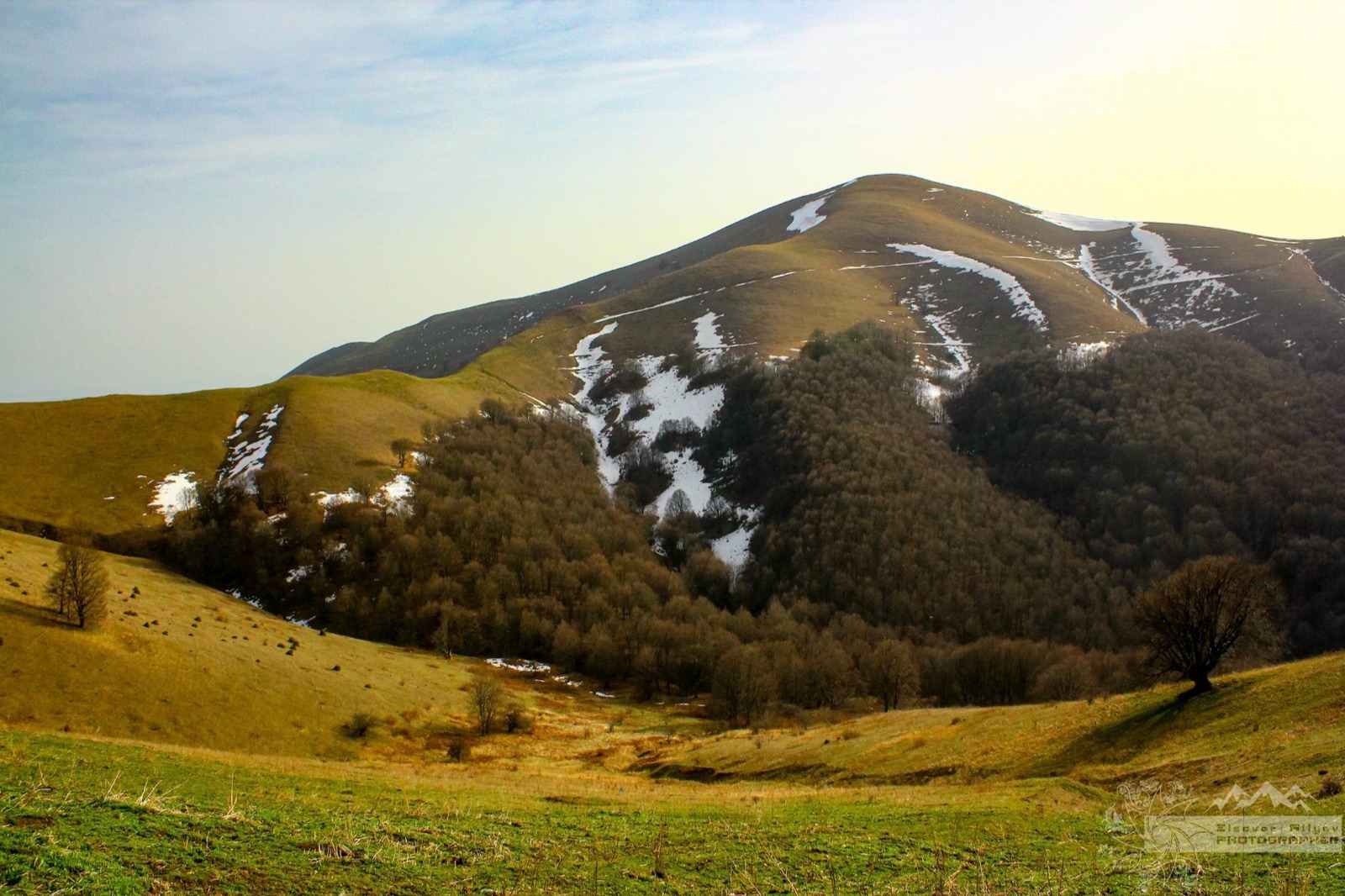

Ismayilli: One Region, Six Different Routes
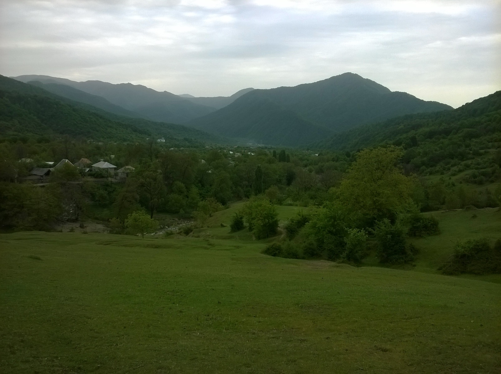
Six routes in a single region — in Azerbaijan, this is only possible in Ismayilli. The reason is the terrain: forests, canyons, plateaus, and peaks over 2000 meters are all just half an hour apart from each other.
Ranked from Easy to Difficult
1. Galajig Hike — 10.6 km, moderate.
Galajig forest and waterfall. There is a long lunch break in the forest mid-hike — so the day never feels rushed. Ideal for spring.
2. Babadag Canyon — moderate.
A summer route passing through water. Non-slip shoes are a must.
3. Sulut Peak (Fit Mountain) — 12 km, moderate.
1810 m peak + Girkhotag fortress + Icehouse. History and trekking combined.
4. Garanohur Lake — 12 km, difficult.
From Talistan village to the lake. Can be challenging for first-timers.
5. Niyaldag Peak — 11 km, difficult.
2053 m. Starts from Lahij, leading from the forest up to the plateau.
6. Muju–Lahij Mountain Hike — 15 km, 1020 m elevation gain, difficult.
The region's most challenging one-day route. Passes through protected forests of Shahdag National Park.
Lahij: More Than Just a Route
Two routes end in Lahij, and this is no coincidence. Lahij is an ancient village known for its copper craft tradition and cobblestone streets. Spending an hour there after a hike doubles the value of the tour.
One-Season Plan
If you want to "complete" Ismayilli in a year:
| Season | Route |
|---|---|
| April–May | Galajig, Garanohur |
| June–August | Babadag Canyon |
| September–October | Niyaldag, Muju–Lahij, Sulut |
Why a peak in autumn? Because the weather is most stable and views are clearest — as explained in our autumn routes article.
Ready to experience it yourself? See the upcoming departures.
Browse tours