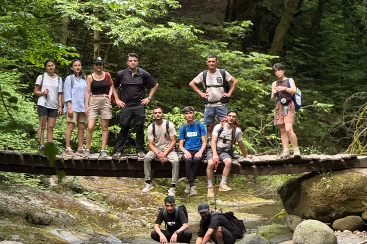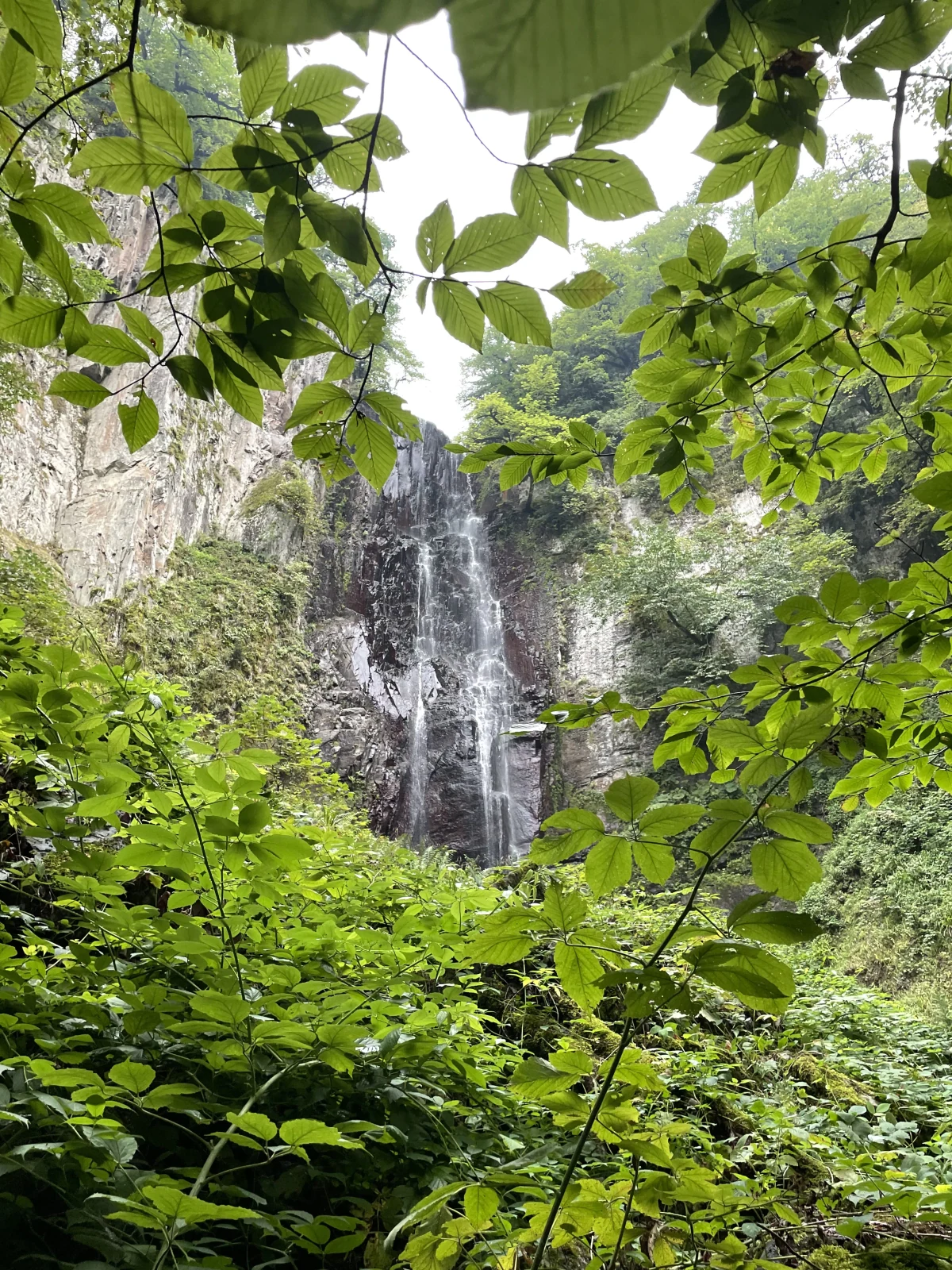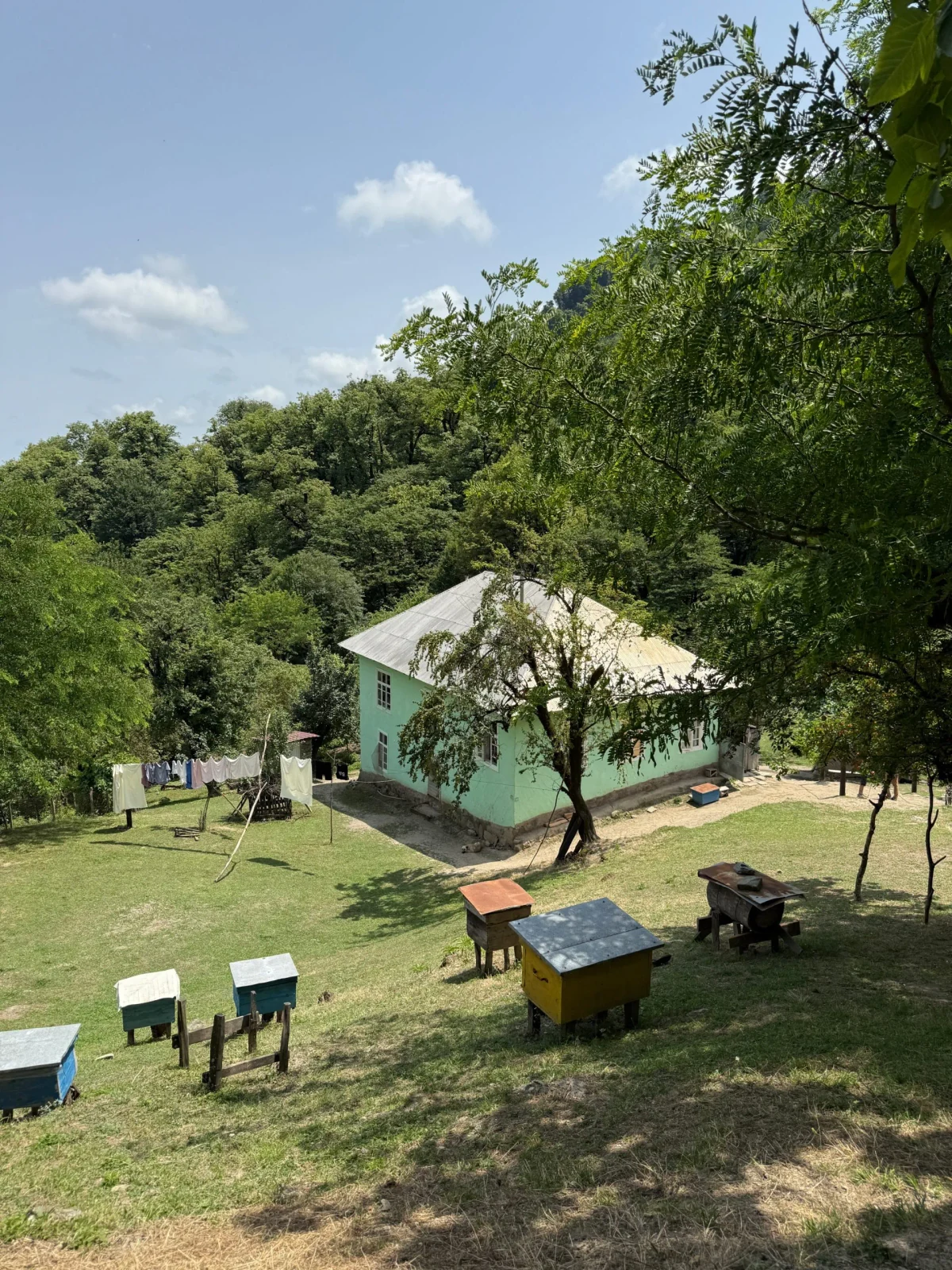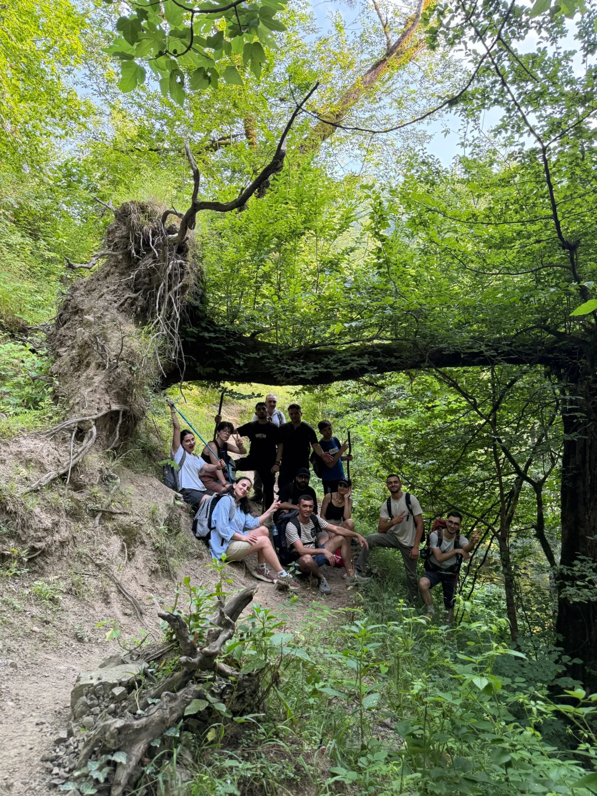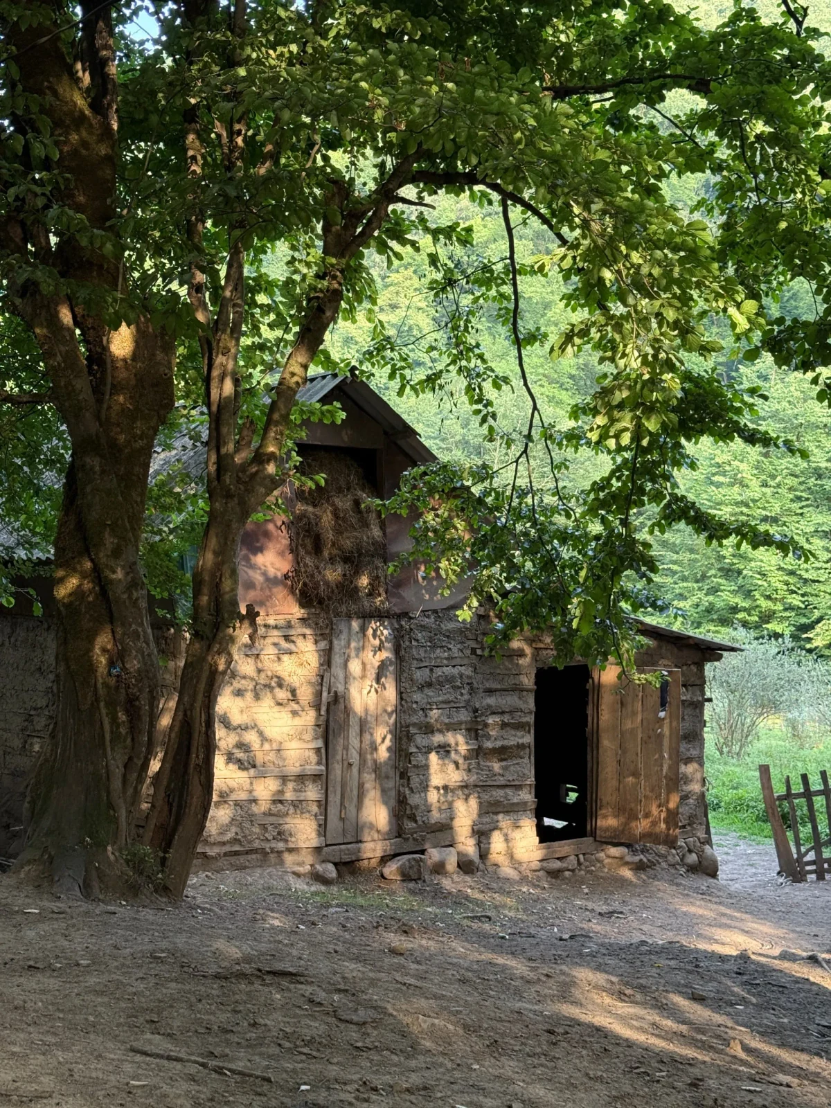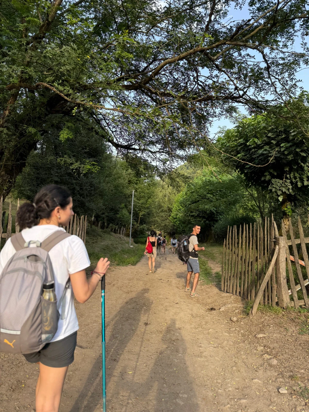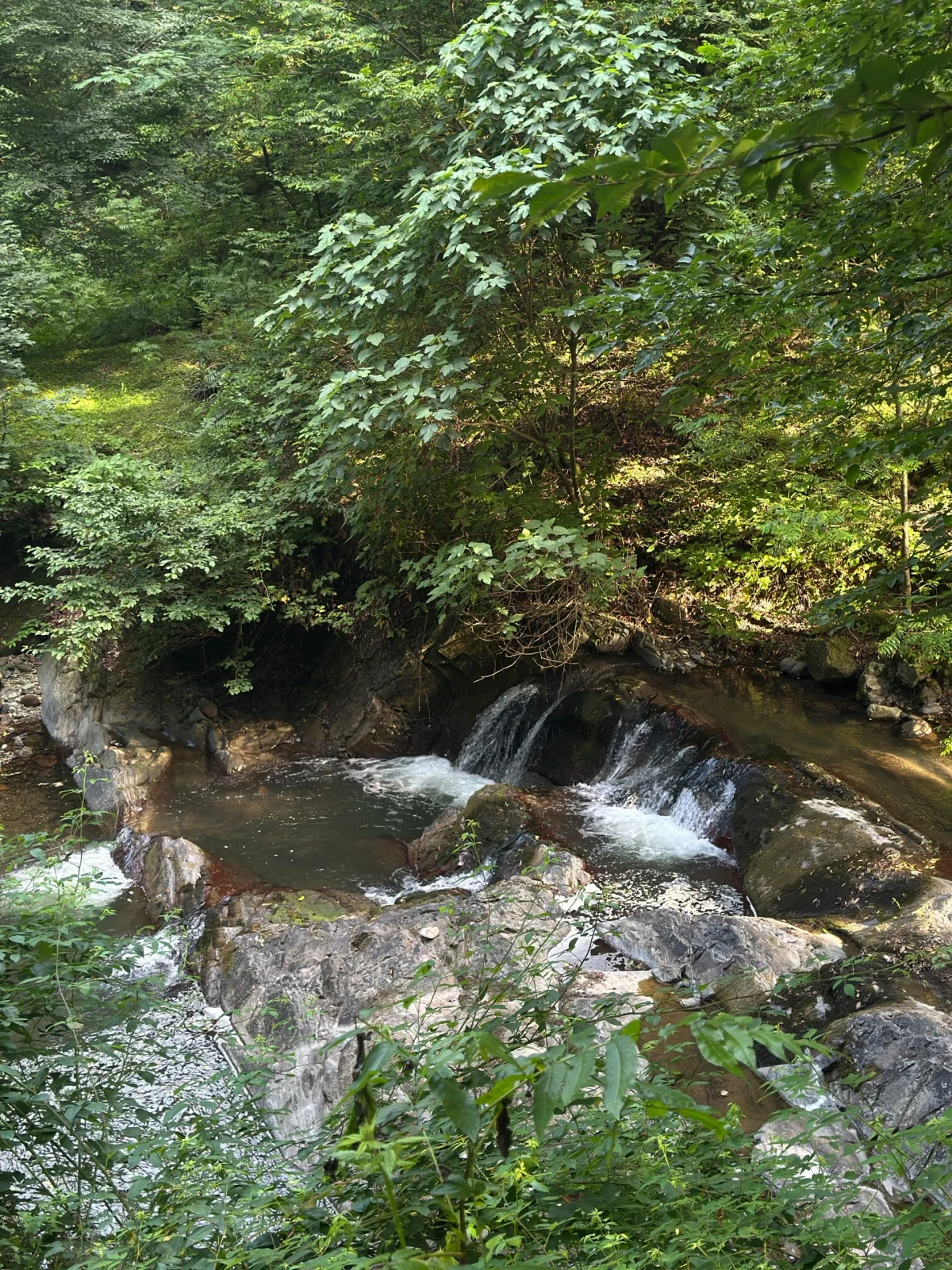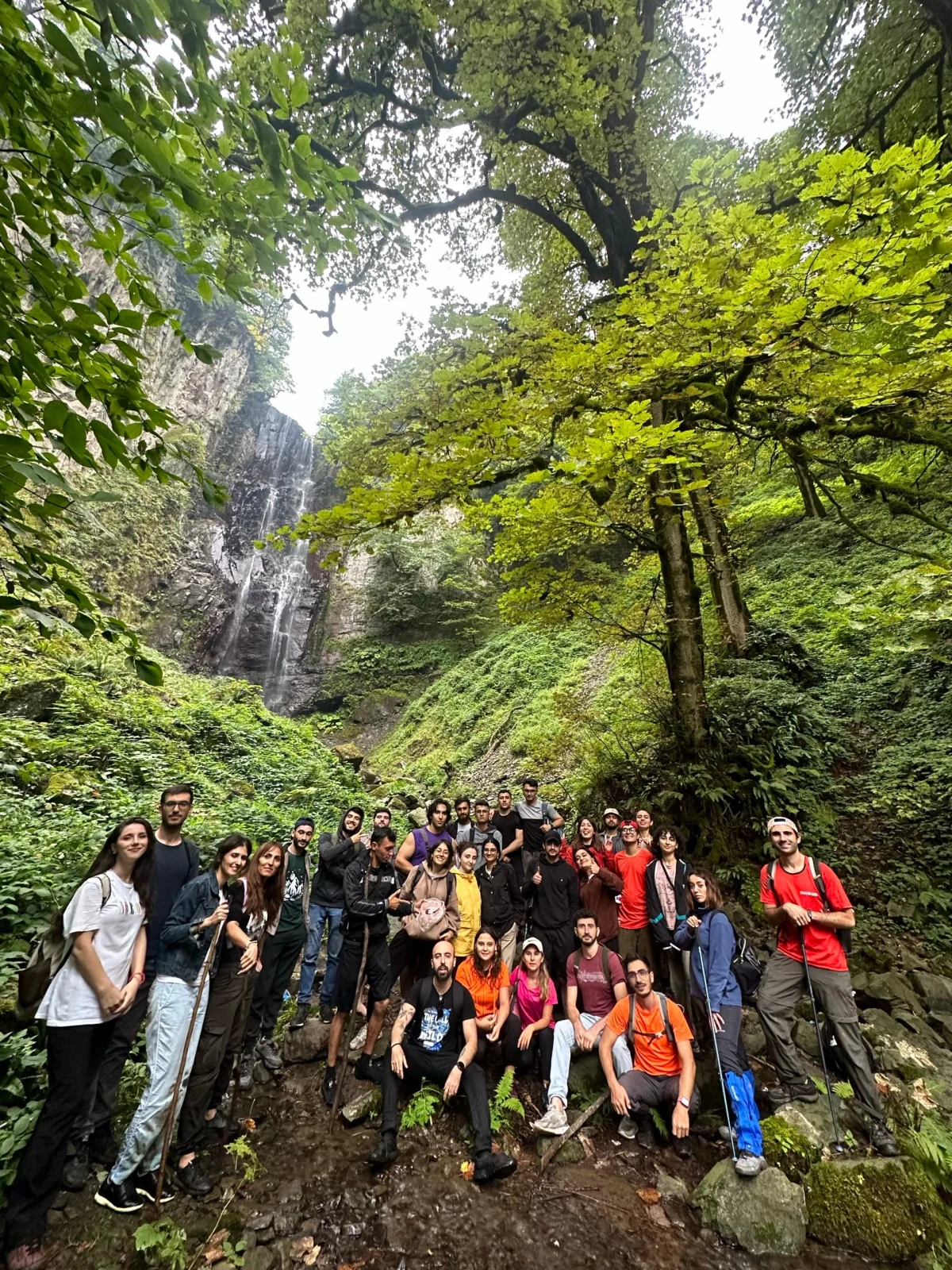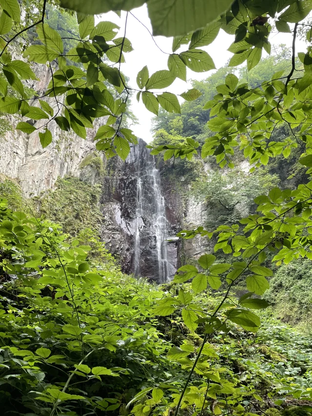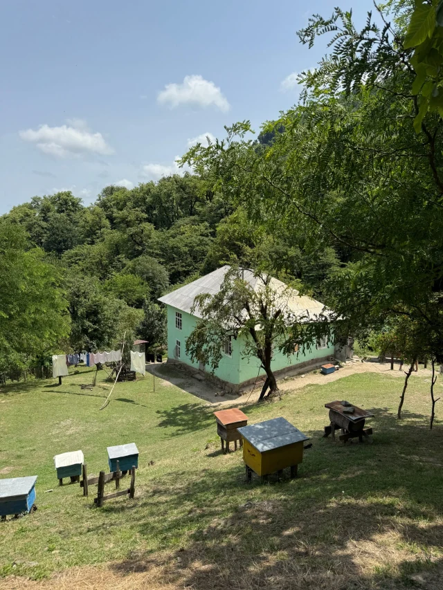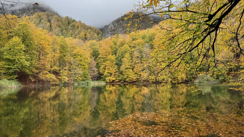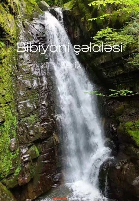

This trekking tour covers 2 days. On the first day, a 17-18 km hike awaits us through southern forests connecting 3 villages. We will stop at one of the villages to rest and enjoy some tea. Overnight stay will be at a village guesthouse in Sim village, where dinner and tea will also be provided. In the morning, we will travel from Sim village by off-road transport to Avyarud village and Shichir waterfall. After returning to Avyarud village for lunch, we will hike to Avyarud waterfall. The average hiking distance for the second day will also be 16-18 km. In total, a 35 km hiking route awaits us. Anyone ready for long-distance hikes, forests, mud, and a true adventure is welcome to join.
Ganjlik metro station (in front of 'Full Secondary School-Lyceum Complex No. 200')
Shows only the on-foot section — transport segments are not included.
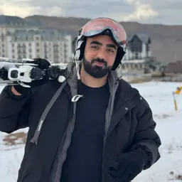
Ruslan MəmmədovGuide5.0(8 ratings)Although Ruslan Mammadov works in IT Business Analytics by profession, his mountain experience and passion connect him to guiding. He has been traversing mountains and hiking trails for more than 5 years. He also maintains an active lifestyle, including running and serving as a Formula 1 Marshal. Trained in first aid. Speaks English.
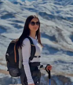
Rəna CəlilovaAlpinist, Guide5.0(3 ratings)Although Rena Jalilova is one of our youngest guides, she is quite experienced in mountaineering and alpinism. Exploring mountains and forests with her father since childhood, Rena took up alpinism seriously around the age of 17-18 and has climbed many high peaks, including Mount Bazarduzu. For over 2 years, she has been professionally engaged in rock climbing and sport climbing. She also serves as a certified referee for the Azerbaijan Mountaineering Federation at championships and competitions. Her proficiency in English and Chinese gives her an edge when working with international travelers.Packing and hiking recommendations tailored to your experience level
How many hikes have you been on before?
Cancel up to 2 days in advance for a full refund
Keep your travel plans flexible — reserve your spot and pay nothing today.
Our detailed posts on the route, the season and how to prepare
The 60-metre Shi, Dustagkhana and Shirhal, Avyarud, plus the 17.5-kilometre Sim–Siyov–Bandasar. Which route fits your legs?
From the village of Digoli in Astara to the campsite by mountain vehicle. What awaits you at night in this camp known for its views.


Avyarud şəlaləsi Astara rayonunda, Talış dağlarının ətəyindəki Hirkan meşələrində yerləşir. Astara Azərbaycanın ən cənub rayonudur: Xəzər sahili, çay plantasiyaları və rütubətli subtropik iqlimi ilə tanınır.
Bu turun marşrutu: 24.6 km marşrut, +1343 m yüksəliş, ən hündür nöqtə 1118 m.
Avyarud şəlaləsi: ətraflı məlumat və bütün turlarTarixi, mövsüm, hazırlıq, hava və təşkilatçıların müqayisəsi.