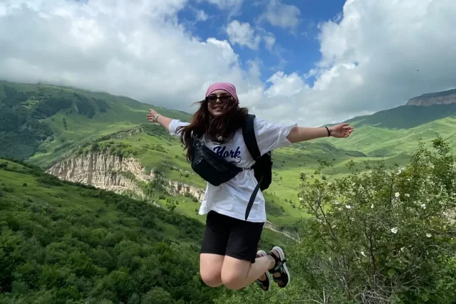

Yergi Kek is located in the scenic Gusar region of Azerbaijan. It offers captivating landscapes, unique natural monuments, and memorable routes for travelers.

No open dates currently scheduled. You can subscribe below to be notified when new dates are announced.
Want to be notified when new dates open for Yergi Kek?
Full interactive map and GPX file available on the tour page.
Fazil İsmayilov ★★★★★
Everything was absolutely perfect. What made the route even more interesting was our guides. Many thanks to the Gedek Gorek Team 💙
Gedek Gorek
Aytekin Mustafayeva ★★★★★
I really loved the place we went to, and I loved our guides so much — they were truly so caring 🩵 Thank you 🤗
Gedek Gorek
Gullu Ibrahimova ★★★★★
The views that opened up as we climbed to the highest village in Azerbaijan were magnificent. Clouds passing right by us and driving through the fog on the way back gave the tour a completely different beauty 🏔️☁️ Our guides Fatima and Ruslan were also very friendly and helpful, supporting everyone along the way. It was truly worth the trip, a really beautiful tour 🤗
Gedek Gorek
Abbas Çopurov ★★★★★
I really liked the tour! Everything was very well organized. The guides were great too — very friendly, attentive and professional. Thank you, we had a lovely day! 🤗
Gedek Gorek
Fatimə İbrahimova ★★★★★
It was nice, after a long time, to meet different guides and walk a beautiful path with them. I'm grateful to each of them, everything was perfect
Gedek Gorek
June to September is best. In June–July meadows are in bloom, while snow may linger in early spring and late autumn.
Moderate difficulty. Suitable for participants with regular walking habits; no technical climbing skills required.
One popular route starts from Kuzun village; exact trailhead coordinates are provided in the tour description and GPX track.
Trekking shoes, lightweight windbreaker/rain jacket, water, snacks, sunscreen, and a hat.
Yergi Kek is located in the Gusar region. The start of the route is approximately 180 km northwest in a straight line from Baku. Coordinates: 41.32458, 48.07202.
Hiking route is 15.3 km (round trip), total elevation gain +1080 m, highest point 2334 m. Figures are calculated from real GPX tracks of guided tours.
The most convenient way is a guided group tour — transportation and itinerary are handled by the organizer. You can currently choose from 1 tours.